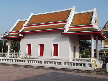
Wat Nuannoradit, Bangkok
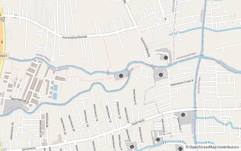
Map
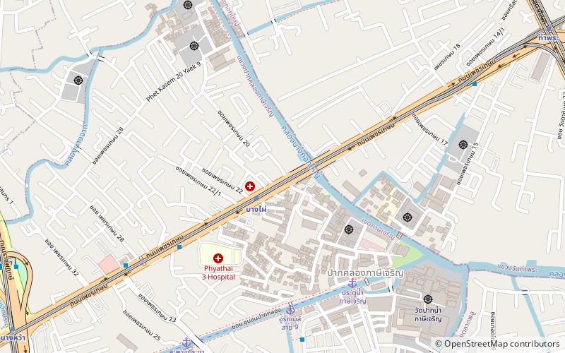
Map

Facts and practical information
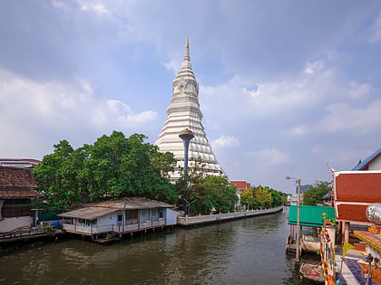
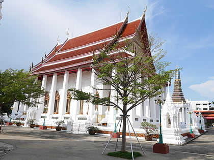
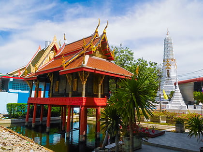
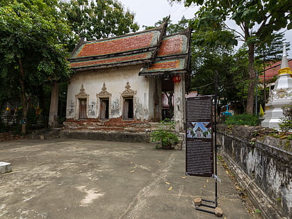
Wat Nuannoradit is the 3rd ranked temple in Thailand. It is on the western side of the Khlong Bangkok Yai and opposite Wat Praduchimplee and Wat Nuan Noradit School. ()
Local name: วัดนวลนรดิศวรวิหารCoordinates: 13°43'31"N, 100°27'58"E
Address
ตากสิน (ภาษีเจริญ)Bangkok
ContactAdd
Social media
Add
Day trips
Wat Nuannoradit – popular in the area (distance from the attraction)
Nearby attractions include: Wat Paknam Bhasicharoen, Wat Intharam, Wat Apson Sawan, Wat Nak Prok.
Frequently Asked Questions (FAQ)
Which popular attractions are close to Wat Nuannoradit?
Nearby attractions include Wat Pradu Chimphli, Bangkok (7 min walk), Wat Kamphaeng Bangchak, Bangkok (10 min walk), Wat Paknam Bhasicharoen, Bangkok (10 min walk), Wat Apson Sawan, Bangkok (12 min walk).
How to get to Wat Nuannoradit by public transport?
The nearest stations to Wat Nuannoradit:
Metro
Ferry
Train
Bus
Metro
- Bang Phai • Lines: MRT Blue (2 min walk)
- Tha Phra • Lines: MRT Blue (16 min walk)
Ferry
- Bang Wa • Lines: เส้นทางเดินเรือโดยสารฯ คลองบางกอ (18 min walk)
Train
- Talat Phlu (22 min walk)
- Wutthakat (26 min walk)
Bus
- อู่กัลปพฤกษ์ • Lines: 195, 209 (24 min walk)
- Ratchapruek (28 min walk)

