Wat Ko, Bangkok

Map
Facts and practical information
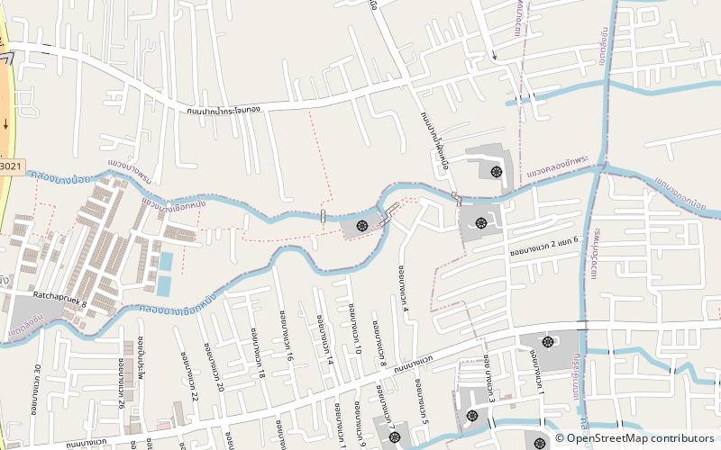
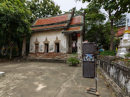
Wat Ko is a Buddhist temple of over 320 years old in the area of Bang Chueak Nang Subdistrict, Taling Chan District, Bangkok. The temple was built during the late Ayutthaya period, but the exact builder name is unknown. It is located on a land surrounded by two waterways Khlong Bang Chueak Nang and Khlong Bang Noi, hence the name "Wat Ko", which means "island temple". ()
Coordinates: 13°44'35"N, 100°27'23"E
Address
มหาสวัสดิ์ (ตลิ่งชัน)Bangkok
ContactAdd
Social media
Add
Day trips
Wat Ko – popular in the area (distance from the attraction)
Nearby attractions include: Wat Kamphaeng Bangchak, Khlong Mon, Wat Nuannoradit, Phran Nok Road.
Frequently Asked Questions (FAQ)
How to get to Wat Ko by public transport?
The nearest stations to Wat Ko:
Metro
Metro
- Charan 13 • Lines: MRT Blue (26 min walk)
- Fai Chai • Lines: MRT Blue (32 min walk)


