Rattanakosin Island, Bangkok
Map
Facts and practical information
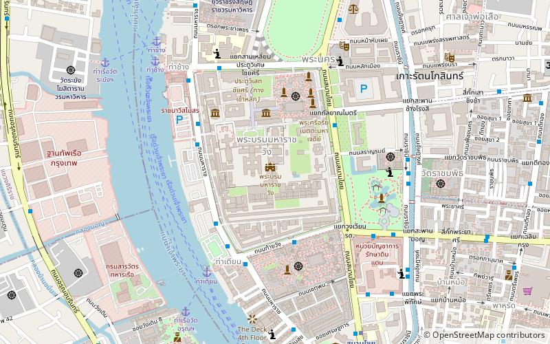
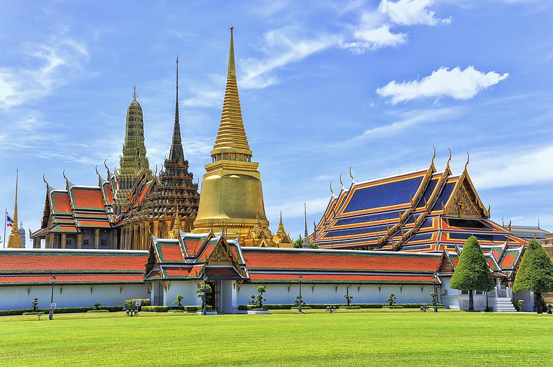
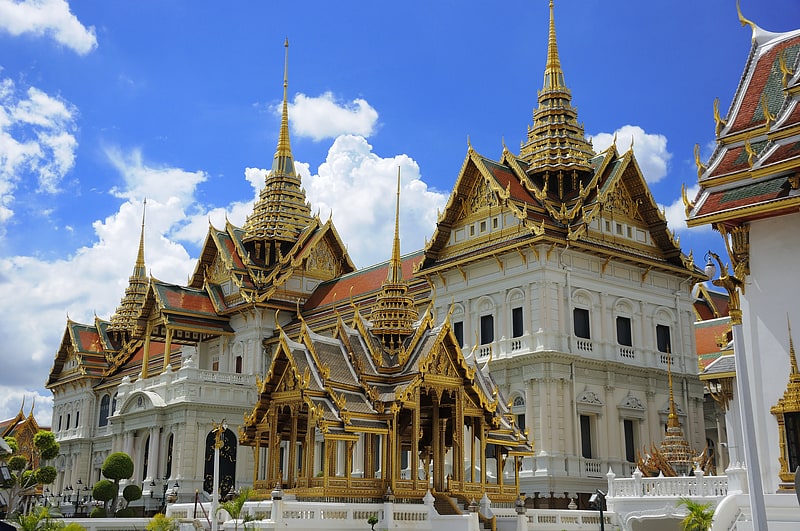
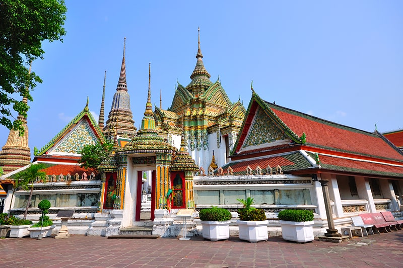
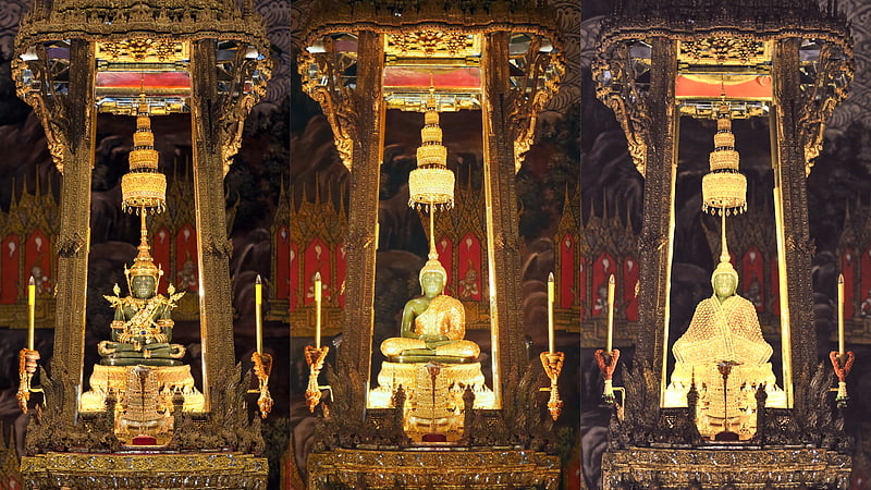
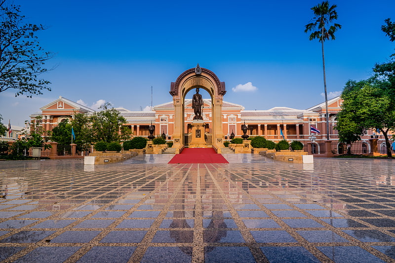
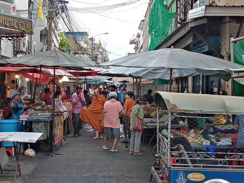
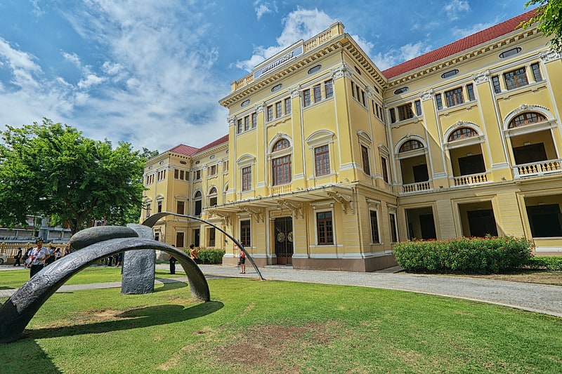
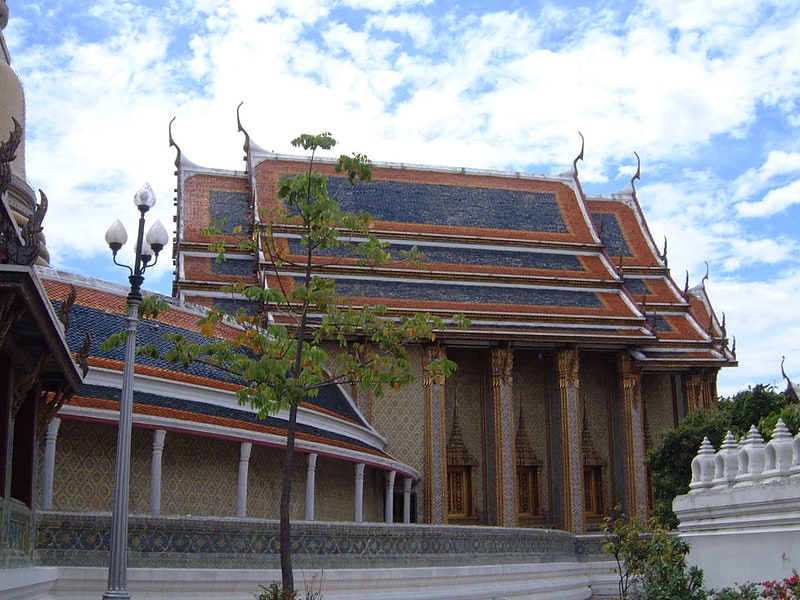
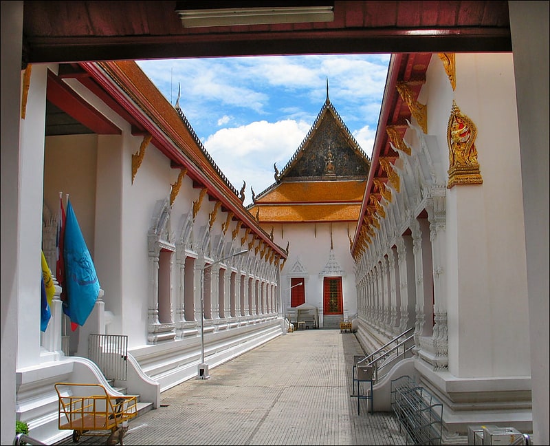
Rattanakosin Island is a historic area in the Phra Nakhon District in the city of Bangkok, Thailand. It is bordered by the Chao Phraya River to the west and various canals to the east that were dug to serve as moats for what was originally the fortified city center. Situated on the eastern convex bank of a meander in the Chao Phraya River, the island is the site of the Grand Palace and Bangkok's City Pillar Shrine, among other places of historical significance. ()
Address
กรุงรัตนโกสินทร์ (พระนคร)Bangkok
ContactAdd
Social media
Add
Getting there by public transportation
Public transportation stops near this location
- Metro
- Bus
- Train
- Ferry
 Metro
Metro
- Calculate routeTha Tien 7 min walk
- Calculate routeTha Chang 9 min walk
- Calculate routeMaharaj 12 min walk
- Calculate routeRajinee 14 min walk
- Calculate routeSanam Chai 10 min walk
- Calculate routeSam Yot 18 min walk
- Calculate routeItsaraphap 22 min walk
- Calculate routePublic Minivan Station 15 min walk
- Calculate routeRatchadamnoen Bus #2,15,22,44,47,60,68,A4,S1) Bus 15 to MBK 18 min walk
- Calculate routeAfter Democracy Monument 20 min walk
- Calculate routeThonburi 31 min walk
Day trips
Frequently Asked Questions (FAQ)
Which popular attractions are close to Rattanakosin Island?
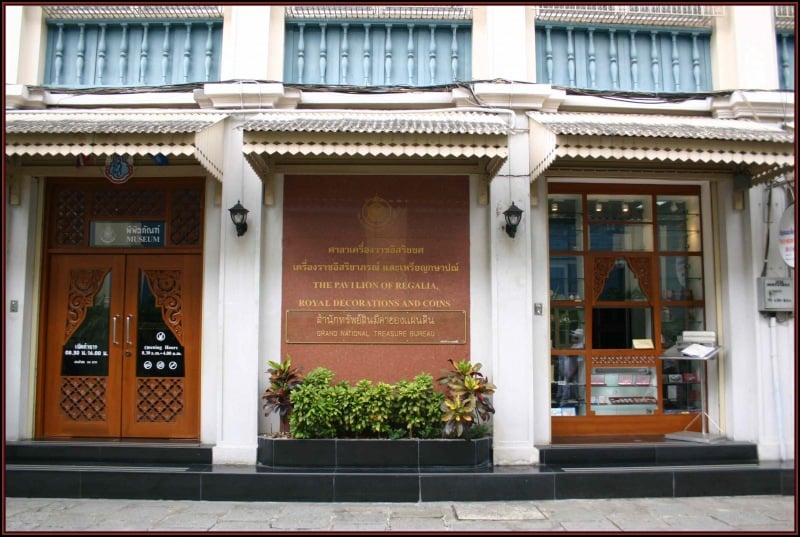
Nearby attractions include Grand Palace, Bangkok (2 min walk), Pavilion of Regalia, Bangkok (4 min walk), Emerald Buddha, Bangkok (5 min walk), Sanam Chai Road, Bangkok (5 min walk).
How to get to Rattanakosin Island by public transport?
The nearest stations to Rattanakosin Island:
Ferry
Metro
Bus
Train
Ferry
- Tha Tien • Lines: เรือด่วนพิเศษธงส้ม, เรือท่องเที่ยวเจ้าพระยา, เรือประจำทาง (ไม่มีธง) (7 min walk)
- Tha Chang • Lines: เรือด่วนพิเศษธงส้ม, เรือด่วนพิเศษธงเขียว, เรือประจำทาง (ไม่มีธง), เส้นทางเดินเรือโดยสารฯ คลองบางกอ (9 min walk)
Metro
- Sanam Chai • Lines: MRT Blue (10 min walk)
- Sam Yot • Lines: MRT Blue (18 min walk)
Bus
- Public Minivan Station (15 min walk)
- Ratchadamnoen Bus #2,15,22,44,47,60,68,A4,S1) Bus 15 to MBK • Lines: 2, 511, A4, S1 (18 min walk)
Train
- Thonburi (31 min walk)