Plaeng Nam Road, Bangkok
Map
Map

Facts and practical information
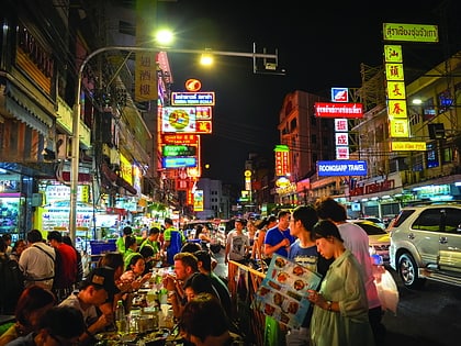
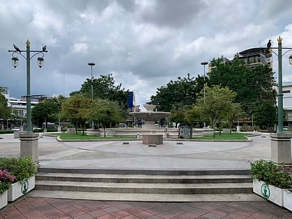
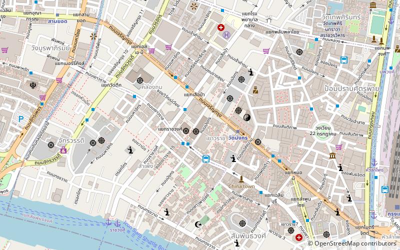
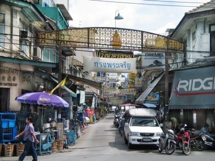
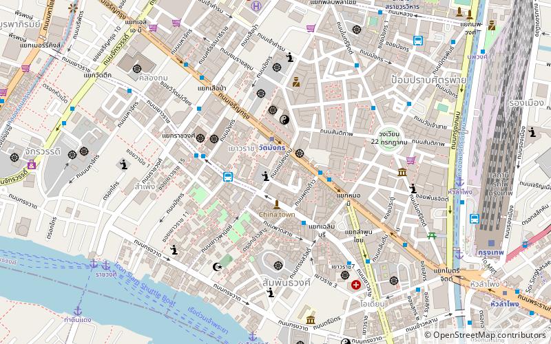
Plaeng Nam is a name of a road that intersects from Charoen Krung to Yaowarat Roads in the area of Bangkok's Chinatown, includes also eponymous four-way intersection where it meets Charoen Krung and Phlapphla Chai roads, which is regarded as the starting point of Phlappha Chai, while the next intersection on Charoen Krung side is Mo Mi. ()
Coordinates: 13°44'28"N, 100°30'36"E
Address
45 Plaeng Nam Rdกรุงรัตนโกสินทร์ (สัมพันธวงศ์)Bangkok 10100
Contact
+66 2 222 8716
Social media
Add
Day trips
Plaeng Nam Road – popular in the area (distance from the attraction)
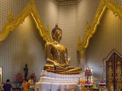
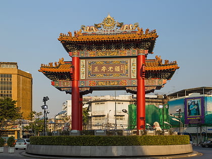
Nearby attractions include: Yaowarat Road, Golden Buddha Statue, Rama I Road, Odeon Circle.
Frequently Asked Questions (FAQ)
When is Plaeng Nam Road open?
Plaeng Nam Road is open:
- Monday 11 am - 11 pm
- Tuesday 11 am - 11 pm
- Wednesday 11 am - 11 pm
- Thursday 11 am - 11 pm
- Friday 11 am - 11 pm
- Saturday 11 am - 11 pm
- Sunday closed
Which popular attractions are close to Plaeng Nam Road?
Nearby attractions include Phadung Dao Road, Bangkok (3 min walk), Wat Kanmatuyaram, Bangkok (4 min walk), Mo Mi, Bangkok (5 min walk), Wat Bamphen Chin Phrot, Bangkok (5 min walk).
How to get to Plaeng Nam Road by public transport?
The nearest stations to Plaeng Nam Road:
Metro
Bus
Ferry
Train
Metro
- Wat Mangkon • Lines: MRT Blue (2 min walk)
- Hua Lamphong • Lines: MRT Blue (14 min walk)
Bus
- 53 (3 min walk)
- มังกร2. จิระโรยขนส่ง (11 min walk)
Ferry
- หัวลำโพง (10 min walk)
- Rachawongse • Lines: เรือด่วนพิเศษธงส้ม, เรือด่วนพิเศษธงเขียว, เรือด่วนพิเศษธงเหลือง, เรือท่องเที่ยวเจ้าพระยา, เรือประจำทาง (ไม่มีธง) (11 min walk)
Train
- Bangkok (13 min walk)

