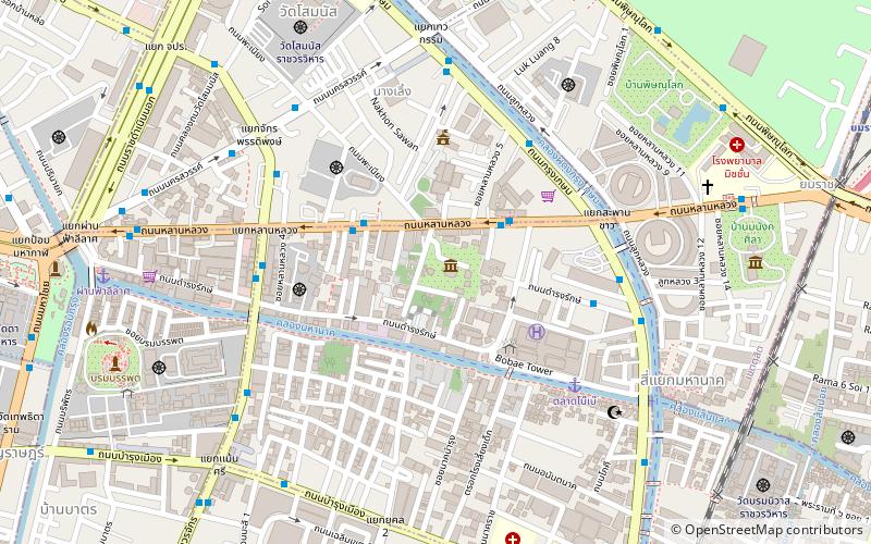
Rama I Road, Bangkok


Facts and practical information
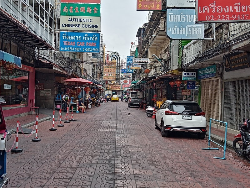
Rama I Road: The Vibrant Artery of Bangkok
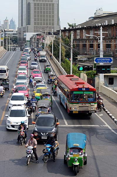
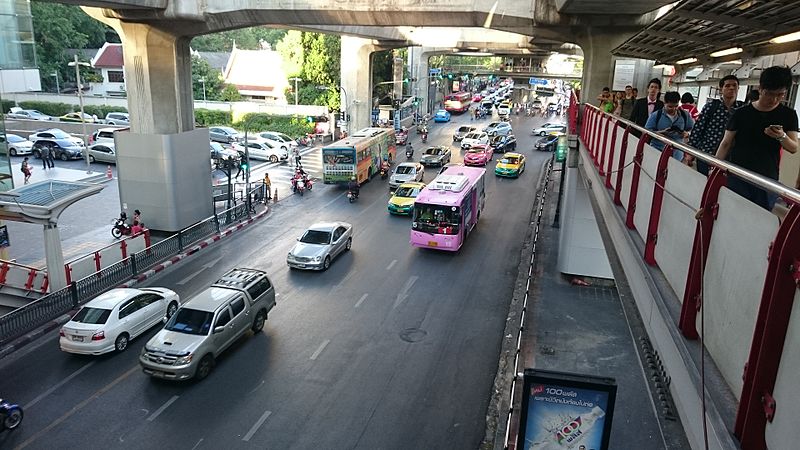
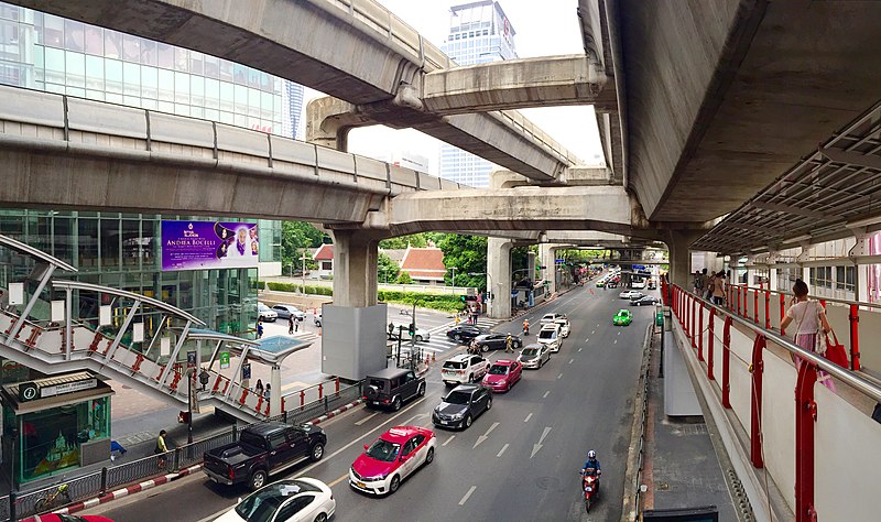
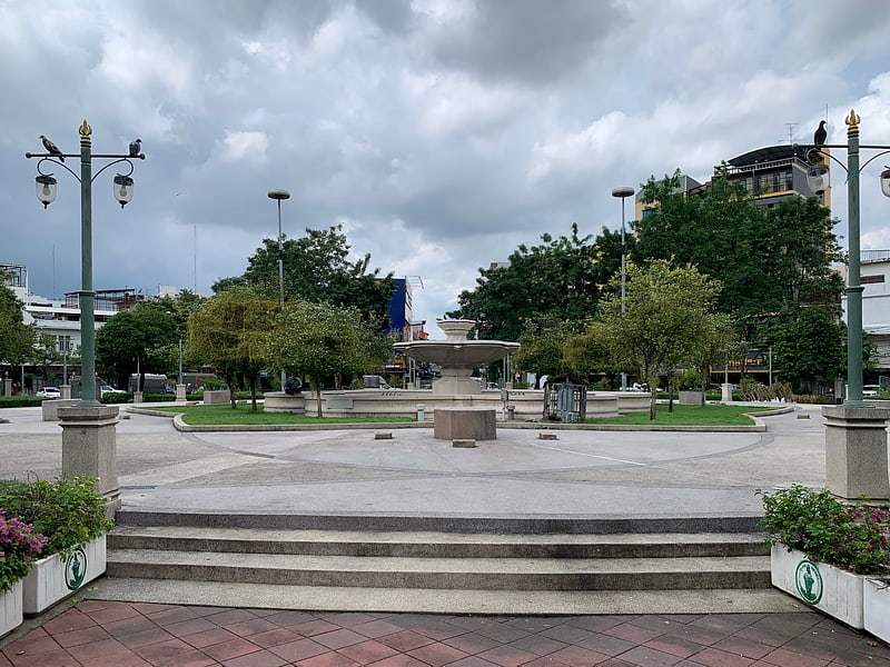
Rama I Road is a bustling thoroughfare in the heart of Bangkok, Thailand. Stretching over several kilometers, this road is a microcosm of the city's vibrant culture, modernity, and historical significance. It serves as a significant connector, bridging various commercial, entertainment, and cultural districts.
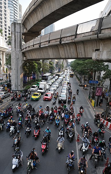
Characterized by its constant flow of traffic and lined with an eclectic mix of shopping malls, local markets, and street food vendors, Rama I Road is a destination for both tourists and locals alike. The road is flanked by some of Bangkok's most iconic shopping centers such as MBK Center and Siam Paragon, making it a haven for those looking to indulge in retail therapy.
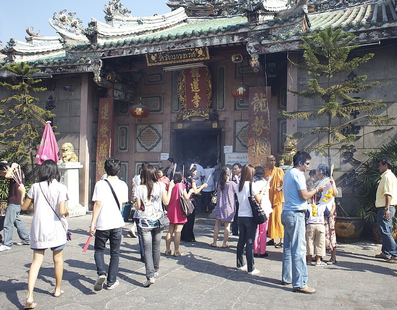
Apart from being a shopper's paradise, Rama I Road is also a cultural hub. The road is home to the Bangkok Art and Culture Centre (BACC), a contemporary arts museum that hosts a variety of exhibitions, performances, and educational programs. This juxtaposition of commerce and culture provides a unique experience, reflective of Bangkok's dual personality.
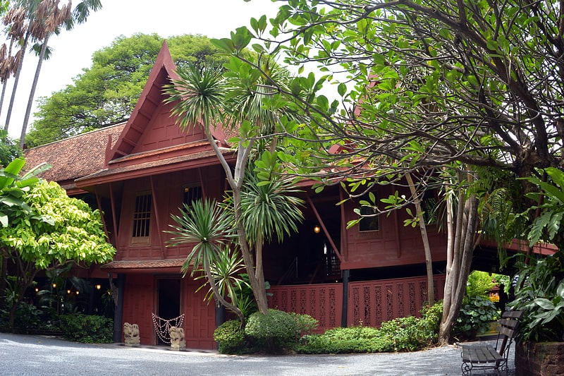
Rama I Road also offers a window into Thailand's rich history, with the Jim Thompson House Museum situated along this stretch. This traditional Thai house turned museum was once the residence of the American businessman and architect, Jim Thompson, who is credited with revitalizing the Thai silk industry.
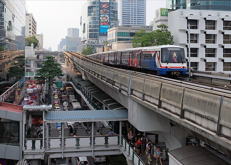
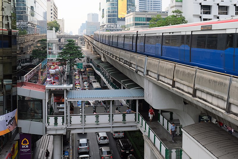
Accessibility is a key feature of Rama I Road, with the BTS Skytrain running parallel to the road, offering convenient and efficient transport options. This makes navigating the bustling cityscape a smoother experience for both residents and visitors.
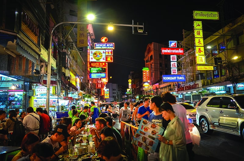
The road is not just a daytime destination; it transforms as the sun sets. The neon lights of the billboards and shopfronts light up the evening sky, while the street food stalls come alive, offering a taste of Thailand's famed culinary delights.
ลุมพินี (ปทุมวัน)Bangkok
- Metro
- Bus
- Train
- Ferry
 Metro
Metro
- Calculate routeกระทรวงพลังงาน 2 min walk
- Calculate routeยศเส 4 min walk
- Calculate routeนพวงศ์ 8 min walk
- Calculate routeTalad Bobae 9 min walk
- Calculate routeมังกร2. จิระโรยขนส่ง 9 min walk
- Calculate route2 15 min walk
- Calculate routeHualamphong 16 min walk
- Calculate routeNational Stadium 19 min walk
- Calculate routeBangkok 18 min walk
- Calculate routeYommarat 19 min walk
- Calculate routeUruphong 23 min walk
- Calculate routePhaya Thai 32 min walk
- Calculate routeWat Mangkon 18 min walk
- Calculate routeHua Lamphong 20 min walk
- Calculate routeNational Stadium 21 min walk
- Calculate routeRatchathewi 25 min walk


Frequently Asked Questions (FAQ)
Which popular attractions are close to Rama I Road?
How to get to Rama I Road by public transport?
Ferry
- กระทรวงพลังงาน (2 min walk)
- ยศเส (4 min walk)
Bus
- มังกร2. จิระโรยขนส่ง (9 min walk)
- 2 • Lines: 2, 511, 8, S1 (15 min walk)
Train
- Bangkok (18 min walk)
- Yommarat (19 min walk)
Metro
- Wat Mangkon • Lines: MRT Blue (18 min walk)
- Hua Lamphong • Lines: MRT Blue (20 min walk)