Pak Nam Samut Prakan, Bangkok
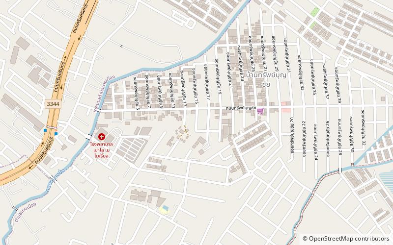
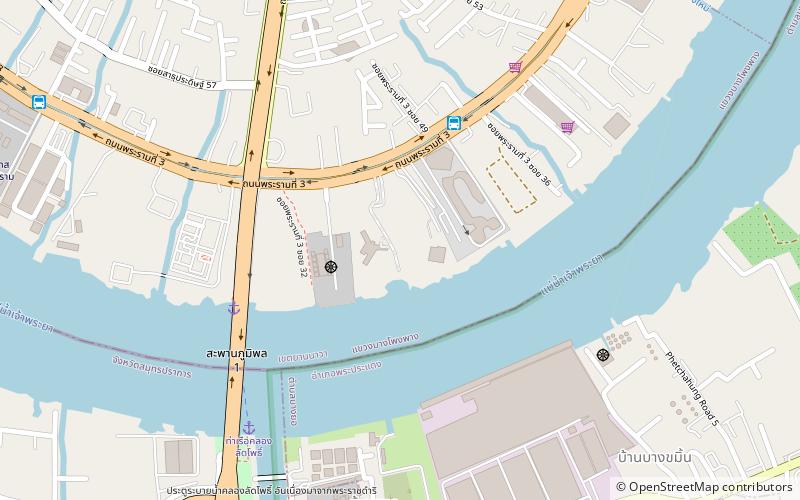
Map
Facts and practical information
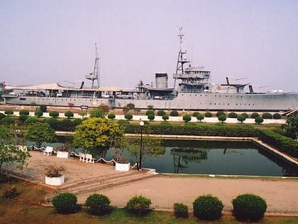
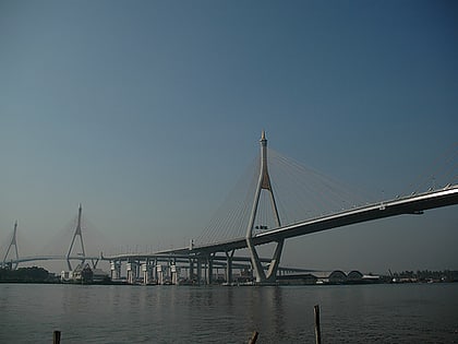
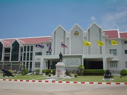
Pak Nam Samut Prakan is a town in the Mueang Samut Prakan District of Samut Prakan Province in the Bangkok Metropolitan Region of Central Thailand. In 2017, it had a total population of 31,887 people. ()
Coordinates: 13°35'56"N, 100°37'8"E
Address
Bangkok
ContactAdd
Social media
Add
Day trips
Pak Nam Samut Prakan – popular in the area (distance from the attraction)
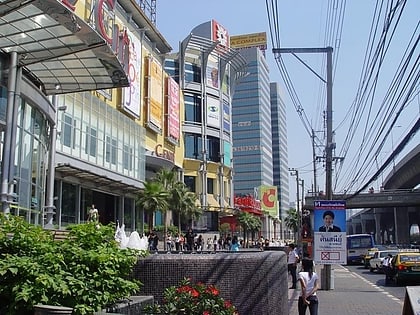
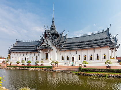
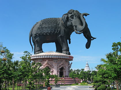
Nearby attractions include: CentralPlaza Bangna, Ancient Siam, Samutprakarn Crocodile Farm and Zoo, Erawan Museum.
Frequently Asked Questions (FAQ)
How to get to Pak Nam Samut Prakan by public transport?
The nearest stations to Pak Nam Samut Prakan:
Metro
Bus
Metro
- Srinagarindra • Lines: BTS Sukhumvit (21 min walk)
- Phraek Sa • Lines: BTS Sukhumvit (33 min walk)
Bus
- Phreak Sa Old Bus Depot • Lines: 145, 25 (30 min walk)
- Blue Arena • Lines: 145, 25 (30 min walk)
