Sieng Kong, Bangkok
Map
Facts and practical information
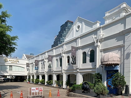
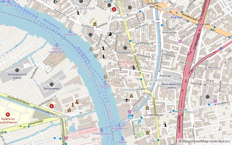
Sieng Kong or sometimes spell Xiang Gong and Siang Kong is a neighbourhood in the area of Bangkok's Chinatown, Talat Noi sub-district, Samphanthawong district. It is well known to most Thais as the car part and secondhand engine machine center. It covers the area from Talat Noi, Song Wat to parts of Khao Lam, Tri Mit and Charoen Krung roads. ()
Coordinates: 13°43'60"N, 100°30'46"E
Address
Soi Wanit 2กรุงรัตนโกสินทร์ (สัมพันธวงศ์)Bangkok
ContactAdd
Social media
Add
Day trips
Sieng Kong – popular in the area (distance from the attraction)
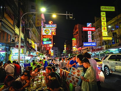
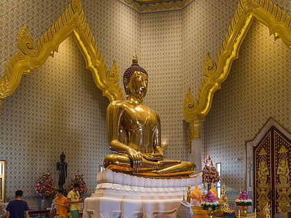
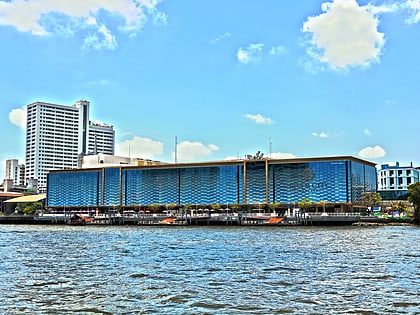
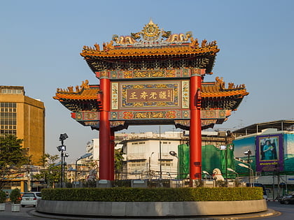
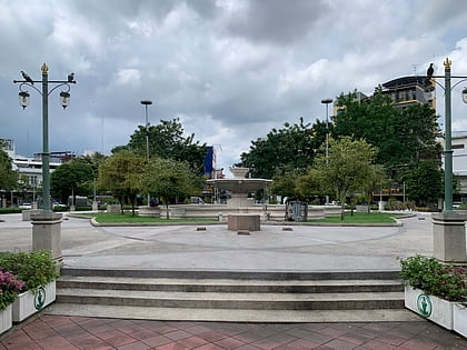
Nearby attractions include: Yaowarat Road, Golden Buddha Statue, River City Shopping Complex, Odeon Circle.
Frequently Asked Questions (FAQ)
Which popular attractions are close to Sieng Kong?
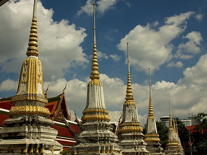
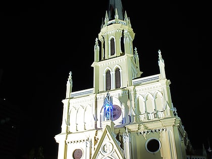
Nearby attractions include Holy Rosary Church, Bangkok (4 min walk), Phitthaya Sathian Bridge, Bangkok (5 min walk), Wat Pathum Khongkha, Bangkok (6 min walk), Samphanthawong Museum, Bangkok (7 min walk).
How to get to Sieng Kong by public transport?
The nearest stations to Sieng Kong:
Ferry
Metro
Bus
Train
Ferry
- Marine Dept. • Lines: เรือด่วนพิเศษธงส้ม, เรือประจำทาง (ไม่มีธง) (2 min walk)
- Si Phraya • Lines: เรือด่วนพิเศษธงส้ม, เรือด่วนพิเศษธงเขียว, เรือด่วนพิเศษธงเหลือง, เรือท่องเที่ยวเจ้าพระยา, เรือประจำทาง (ไม่มีธง) (9 min walk)
Metro
- Khlong San • Lines: BTS Gold Line (10 min walk)
- Hua Lamphong • Lines: MRT Blue (11 min walk)
Bus
- 4,21,29,40,53 • Lines: 21, 25, 507 (12 min walk)
- Hualamphong (14 min walk)
Train
- Bangkok (13 min walk)
