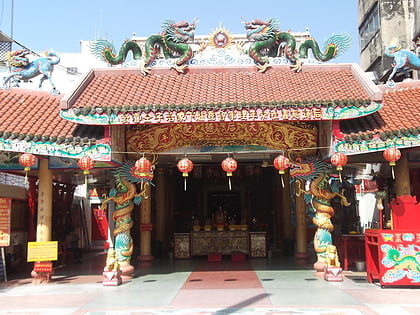
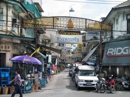
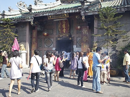
Song Wat Road, Bangkok
Facts and practical information
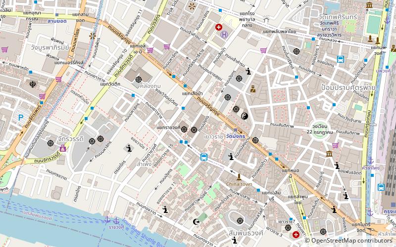
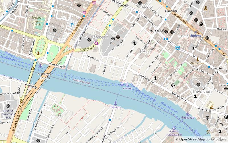
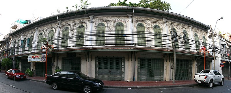
Song Wat Road is a historic road in the area of Bangkok's Samphanthawong district. It has its origins by separating from Chak Phet road near Chakkrawat police station and foot of Phra Pok Klao bridge on the borderline of Chakkrawat sub-district, Samphanthwong district and Wang Burapha Phirom sub-district, Phra Nakhon district, then cuts across Ratchawong road in the area near Ratchawong pier, as far as ending at Khao Lam cycle, where it combines Khao Lam and Charoen Krung roads in Talat Noi sub-district in the area known as Sieng Kong or official name Soi Wanit 2. The distance is 1,196 m alongside Chao Phraya river almost all the length. ()
กรุงรัตนโกสินทร์ (สัมพันธวงศ์)Bangkok
Song Wat Road – popular in the area (distance from the attraction)
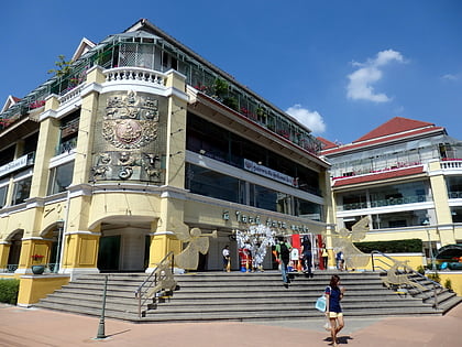
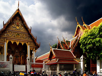
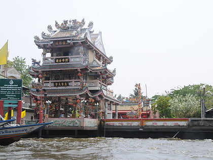
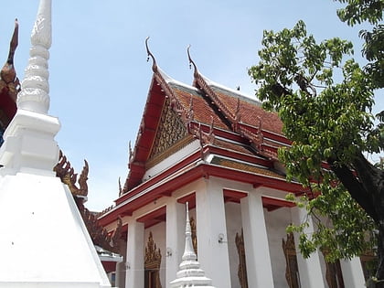
Nearby attractions include: Old Siam Plaza, Wat Chai Chana Songkhram, Guan Yu Shrine, Wat Anongkharam.
Frequently Asked Questions (FAQ)
Which popular attractions are close to Song Wat Road?
How to get to Song Wat Road by public transport?
Ferry
- Rachawongse • Lines: เรือด่วนพิเศษธงส้ม, เรือด่วนพิเศษธงเขียว, เรือด่วนพิเศษธงเหลือง, เรือท่องเที่ยวเจ้าพระยา, เรือประจำทาง (ไม่มีธง) (3 min walk)
- Memorial Bridge • Lines: เรือด่วนพิเศษธงส้ม, เรือประจำทาง (ไม่มีธง), เส้นทางเดินเรือโดยสารฯ คลองบางกอ (10 min walk)
Bus
- ท่าดินแดง • Lines: 20 (7 min walk)
- 53 (9 min walk)
Metro
- Wat Mangkon • Lines: MRT Blue (12 min walk)
- Sam Yot • Lines: MRT Blue (14 min walk)
Train
- Bangkok (23 min walk)
- Wongwian Yai (34 min walk)

