Sam Yan, Bangkok
Map
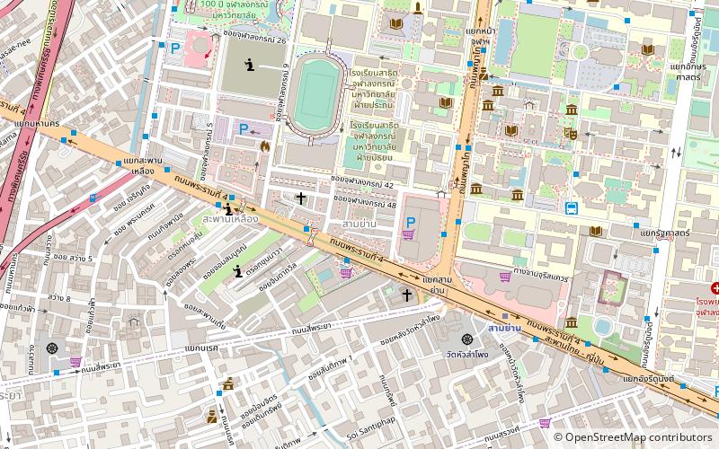
Map

Facts and practical information
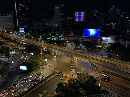
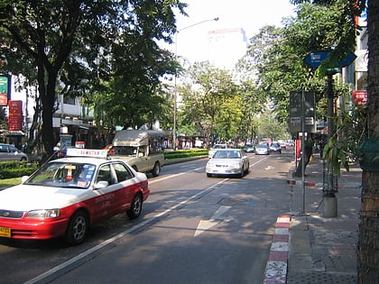
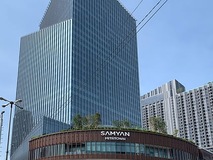
Sam Yan is the name of an intersection and its nearby neighbourhood in Bangkok, Thailand. It connects Rama IV Road with Phaya Thai and Si Phraya roads, and is located within Pathum Wan District, next to its border with Bang Rak. The neighbourhood lies in the intersection's northwest corner on land owned by Chulalongkorn University, and is famous for its restaurants. ()
Coordinates: 13°44'4"N, 100°31'36"E
Address
ลุมพินี (ปทุมวัน)Bangkok
ContactAdd
Social media
Add
Day trips
Sam Yan – popular in the area (distance from the attraction)
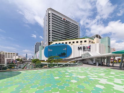
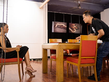
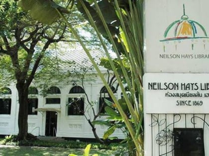
Nearby attractions include: MBK Center, Si Lom, Patpong Museum, Neilson Hays Library.
Frequently Asked Questions (FAQ)
Which popular attractions are close to Sam Yan?
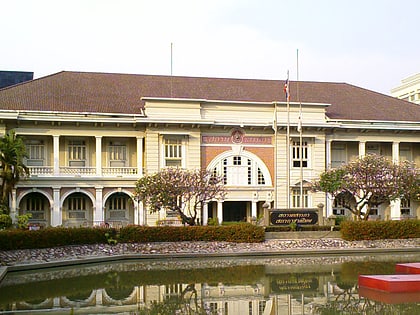
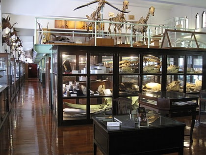
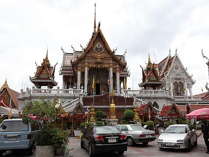
Nearby attractions include Wat Hua Lamphong, Bangkok (7 min walk), Museum of Imagery Technology, Bangkok (8 min walk), Chamchuri Square, Bangkok (8 min walk), Chulalongkorn University Auditorium, Bangkok (9 min walk).
How to get to Sam Yan by public transport?
The nearest stations to Sam Yan:
Metro
Bus
Train
Ferry
Metro
- Sam Yan • Lines: MRT Blue (8 min walk)
- Sala Daeng • Lines: BTS Silom (17 min walk)
Bus
- BTS Saladaeng Station • Lines: 15 (16 min walk)
- 4,21,29,40,53 • Lines: 21, 25, 507 (16 min walk)
Train
- Bangkok (20 min walk)
Ferry
- สถานีรถไฟหัวลำโพง (21 min walk)
- หัวลำโพง (23 min walk)
