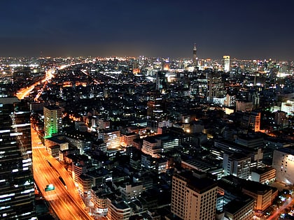
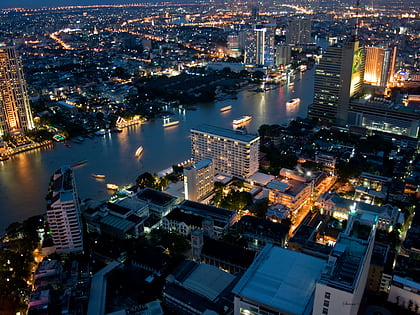
Chan Road, Bangkok
Facts and practical information
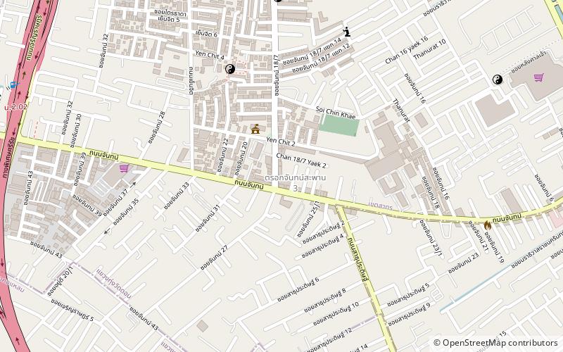
Chan Road, also known as Trok Chan, is a road and neighbourhood in Bangkok. It's a separate from Nang Linchi road in the area of Thung Maha Mek sub-district, Sathon district and runs through Chan - Naradhiwas intersection which meet Naradhiwas Rajanagarindra road. In this phase, it also acts as a line between Sathon district's Thung Wat Don and Yan Nawa district's Chong Nonsi sub-district, then through two more intersections viz Tai Duan Chan junction and Sathu - Chan junction as far as end at Trok Chan junction, which it meet to Charoen Krung road in the area of Wat Phraya Krai sub-district, Bang Kho Laem district. Total distance is 7.0 km. At the end of the road on Charoen Krung side is close to two historic sites are Asiatique The Riverfront, originally, it was the location of the Danish maritime navigation company East Asiatic Company and Protestant Cemetery, include another place of education is Shrewsbury International School. ()
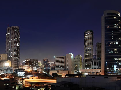
ลุมพินี (สาทร)Bangkok
Chan Road – popular in the area (distance from the attraction)
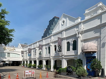
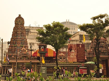
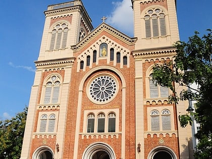
Nearby attractions include: Jewelry Trade Center, CentralPlaza Rama 3, O.P. Place, Sri Maha Mariamman Temple.
Frequently Asked Questions (FAQ)
Which popular attractions are close to Chan Road?
How to get to Chan Road by public transport?
Bus
- Technic Krungthep (18 min walk)
- Thanon Chan (21 min walk)
Metro
- Surasak • Lines: BTS Silom (25 min walk)
- Saint Louis • Lines: BTS Silom (25 min walk)
Ferry
- Sathorn • Lines: เรือด่วนพิเศษธงส้ม, เรือด่วนพิเศษธงเขียว, เรือด่วนพิเศษธงเหลือง, เรือท่องเที่ยวเจ้าพระยา, เรือประจำทาง (ไม่มีธง) (33 min walk)
- Oriental (38 min walk)
