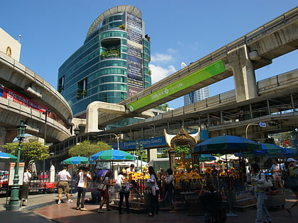
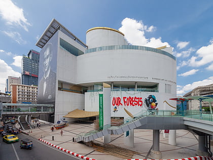
Siam area, Bangkok
Map
Map

Facts and practical information
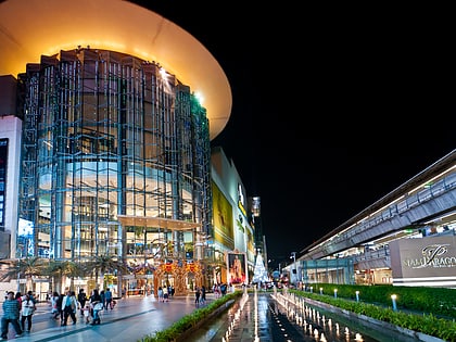
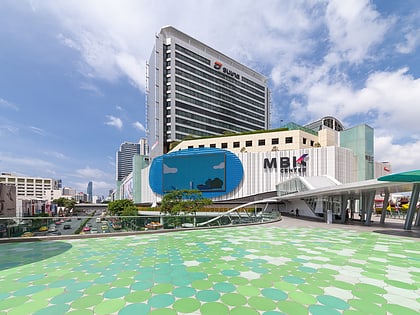
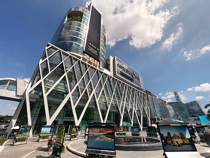
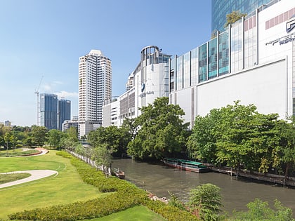
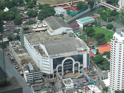
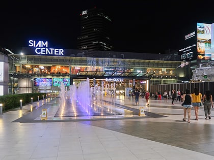
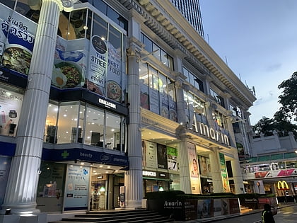
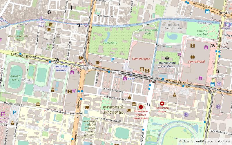
Siam is a shopping district in the heart of Bangkok, the capital of Thailand. It is situated alongside a stretch of Rama I Road in the city's Pathum Wan District, from Pathum Wan Intersection to Chaloem Phao Junction, beyond which it meets the adjacent Ratchaprasong neighbourhood. The area is home to multiple large shopping malls, and, together with Ratchaprasong, forms what has been termed the city's central shopping district, functioning as the modern-day city centre. ()
Coordinates: 13°44'45"N, 100°31'59"E
Address
ลุมพินี (ปทุมวัน)Bangkok
ContactAdd
Social media
Add
Day trips
Siam area – popular in the area (distance from the attraction)
Nearby attractions include: Siam Paragon, MBK Center, CentralWorld, Platinum Fashion Mall.
Frequently Asked Questions (FAQ)
Which popular attractions are close to Siam area?
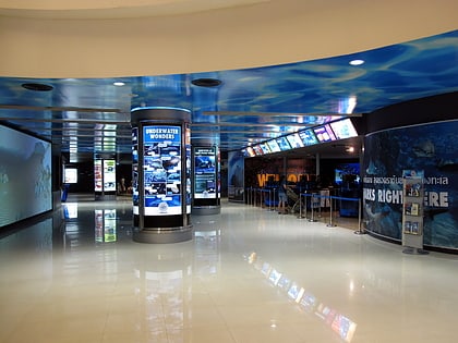
Nearby attractions include Sea Life Bangkok Ocean World, Bangkok (4 min walk), Sa Pathum Palace, Bangkok (5 min walk), Queen Savang Vadhana Museum, Bangkok (5 min walk), Faculty of Pharmaceutical Sciences, Bangkok (5 min walk).
How to get to Siam area by public transport?
The nearest stations to Siam area:
Metro
Bus
Ferry
Train
Metro
- Siam • Lines: BTS Silom, BTS Sukhumvit (2 min walk)
- National Stadium • Lines: BTS Silom (7 min walk)
Bus
- 16,21 • Lines: 141, 16, 21 (5 min walk)
- หอศิลป์กรุงเทพฯ • Lines: 508 (7 min walk)
Ferry
- Sapan Hua Chang • Lines: Golden Mount (8 min walk)
- Baan Krua Nua (12 min walk)
Train
- Phaya Thai (20 min walk)
- Ratchaprarop (23 min walk)

