Tha Phra Chan, Bangkok
Map
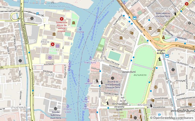
Map

Facts and practical information
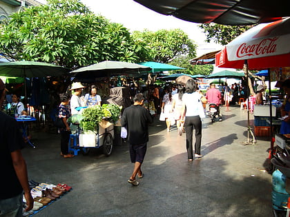
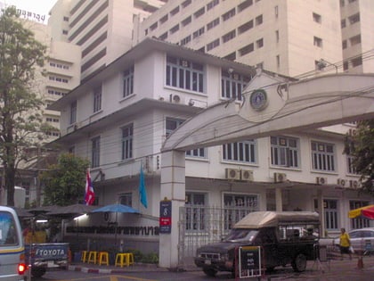
Tha Phra Chan is a pier on Rattanakosin Island, Bangkok, on the east bank of the Chao Phraya River, in Phra Nakhon District. The pier is beside Thammasat University's campus of the same name. Tha Phra Chan literally means 'moon pier'. More broadly, the name also refers to the area around the pier and the university. The area is also known as a marketplace for Thai amulets and astrologers. It is also full of shops, book stores, restaurants, and food stalls. ()
Coordinates: 13°45'23"N, 100°29'22"E
Address
กรุงรัตนโกสินทร์ (พระนคร)Bangkok
ContactAdd
Social media
Add
Day trips
Tha Phra Chan – popular in the area (distance from the attraction)
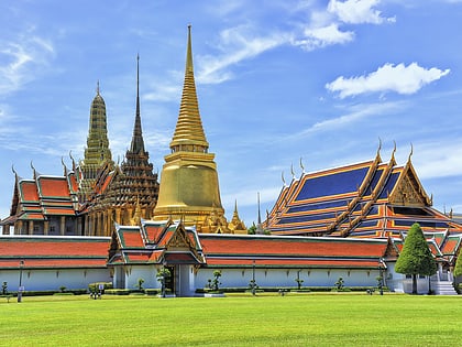
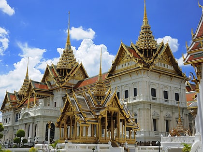
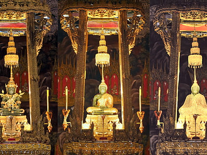
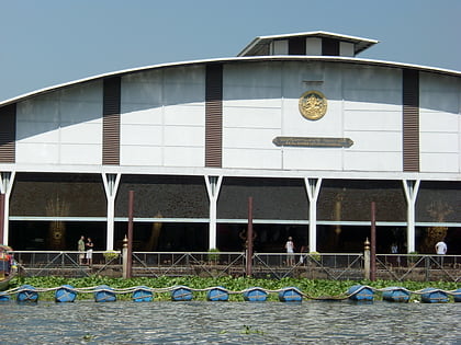
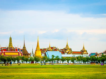
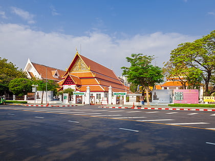
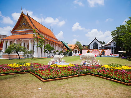
Nearby attractions include: Wat Phra Kaew, Grand Palace, Emerald Buddha, National Museum of Royal Barges.
Frequently Asked Questions (FAQ)
Which popular attractions are close to Tha Phra Chan?
Nearby attractions include Prannok Pier, Bangkok (4 min walk), Wat Mahathat Yuwaratrangsarit, Bangkok (5 min walk), Front Palace, Bangkok (5 min walk), Front Palace, Bangkok (5 min walk).
How to get to Tha Phra Chan by public transport?
The nearest stations to Tha Phra Chan:
Ferry
Bus
Train
Metro
Ferry
- Maharaj • Lines: เรือท่องเที่ยวเจ้าพระยา (4 min walk)
- Tha Wang Lang • Lines: เรือด่วนพิเศษธงส้ม, เรือด่วนพิเศษธงเขียว, เรือด่วนพิเศษธงเหลือง, เรือท่องเที่ยวเจ้าพระยา, เรือประจำทาง (ไม่มีธง) (5 min walk)
Bus
- Public Minivan Station (11 min walk)
- Bus Stop 53 • Lines: 3, A4, S1 (13 min walk)
Train
- Thonburi (20 min walk)
- Charan Sanitwong (31 min walk)
Metro
- Sanam Chai • Lines: MRT Blue (24 min walk)
- Sam Yot • Lines: MRT Blue (28 min walk)
