Chak Phet Road, Bangkok
Map
Map

Facts and practical information
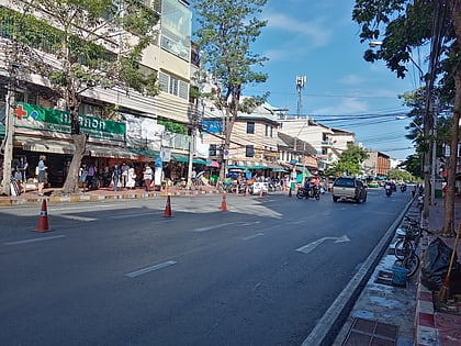
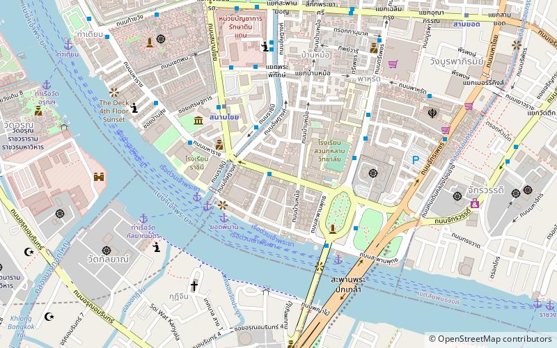
Chak Phet Road is a road in Wang Burapha Phirom Subdistrict, Phra Nakhon District, Bangkok, with a total length of 1,120 m. ()
Coordinates: 13°44'32"N, 100°29'47"E
Address
กรุงรัตนโกสินทร์ (พระนคร)Bangkok
ContactAdd
Social media
Add
Day trips
Chak Phet Road – popular in the area (distance from the attraction)
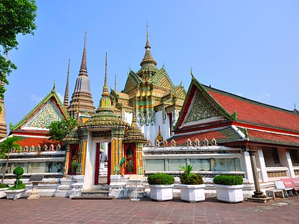
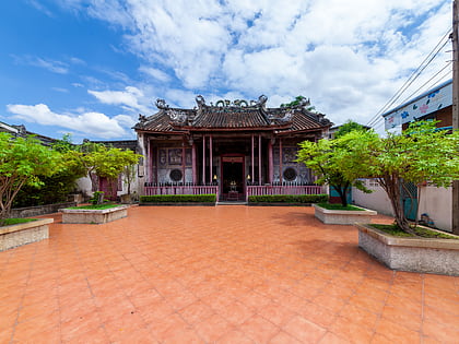
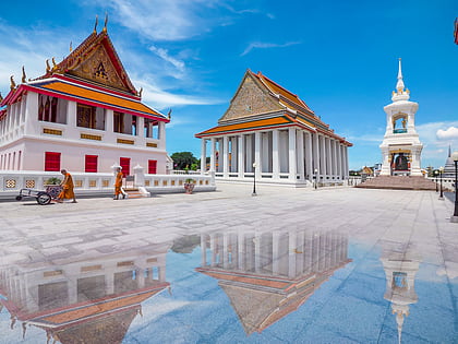
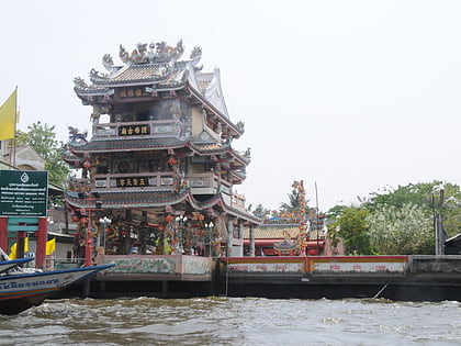
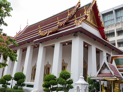
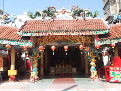
Nearby attractions include: Wat Pho, Pak Khlong Talat, Kian Un Keng Shrine, Wat Kalayanamitr.
Frequently Asked Questions (FAQ)
Which popular attractions are close to Chak Phet Road?
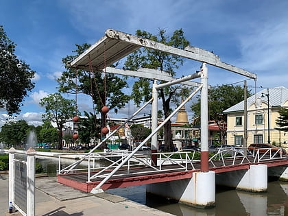
Nearby attractions include Pak Khlong Talat, Bangkok (2 min walk), Wat Ratchaburana, Bangkok (5 min walk), Museum Siam, Bangkok (5 min walk), Memorial Bridge, Bangkok (7 min walk).
How to get to Chak Phet Road by public transport?
The nearest stations to Chak Phet Road:
Ferry
Metro
Bus
Ferry
- Yodpiman (4 min walk)
- Rajinee • Lines: เรือประจำทาง (ไม่มีธง), เส้นทางเดินเรือโดยสารฯ คลองบางกอ (5 min walk)
Metro
- Sanam Chai • Lines: MRT Blue (5 min walk)
- Sam Yot • Lines: MRT Blue (13 min walk)
Bus
- ท่าดินแดง • Lines: 20 (17 min walk)
- 53 (21 min walk)

