Tha Chang, Bangkok
Map

Map

Facts and practical information
Tha Chang, or well known in Thai Tha Chang Wang Luang, with designated pier code N9, is a pier on Chao Phraya River located on the end of Na Phra Lan Road in the area behind Grand Palace next to Nagaraphirom Park and Ratchaworadit Pier. ()
Coordinates: 13°45'9"N, 100°29'20"E
Address
กรุงรัตนโกสินทร์ (พระนคร)Bangkok
ContactAdd
Social media
Add
Day trips
Tha Chang – popular in the area (distance from the attraction)
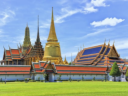
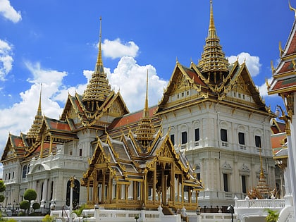
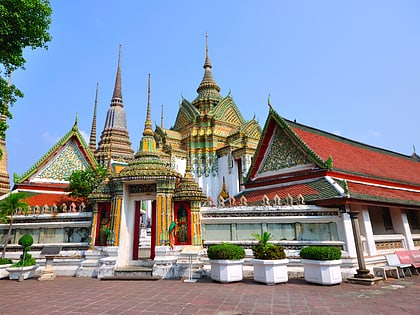
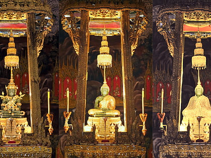
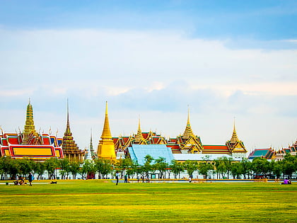
Nearby attractions include: Wat Phra Kaew, Grand Palace, Wat Pho, Emerald Buddha.
Frequently Asked Questions (FAQ)
Which popular attractions are close to Tha Chang?
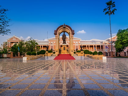
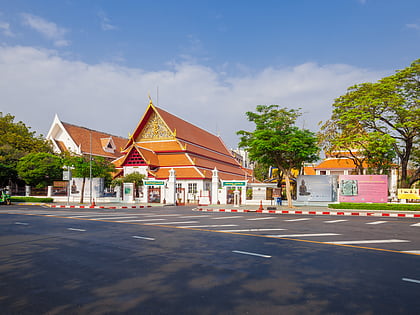
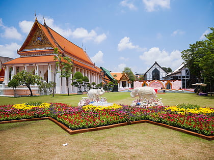
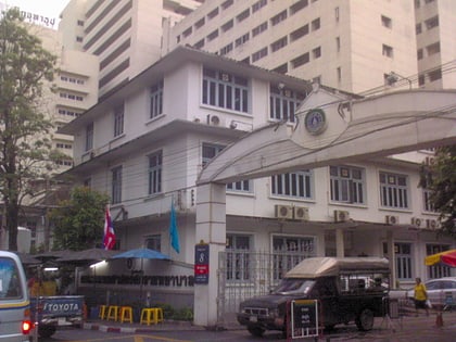
Nearby attractions include Silpakorn University Art Gallery, Bangkok (2 min walk), Silpakorn University, Bangkok (3 min walk), Silpa Bhirasri National Museum, Bangkok (4 min walk), Wat Rakang Kositaram Woramahawihan, Bangkok (6 min walk).
How to get to Tha Chang by public transport?
The nearest stations to Tha Chang:
Ferry
Bus
Metro
Train
Ferry
- Tha Chang • Lines: เรือด่วนพิเศษธงส้ม, เรือด่วนพิเศษธงเขียว, เรือประจำทาง (ไม่มีธง), เส้นทางเดินเรือโดยสารฯ คลองบางกอ (2 min walk)
- Maharaj • Lines: เรือท่องเที่ยวเจ้าพระยา (5 min walk)
Bus
- Public Minivan Station (14 min walk)
- Ratchadamnoen Bus #2,15,22,44,47,60,68,A4,S1) Bus 15 to MBK • Lines: 2, 511, A4, S1 (17 min walk)
Metro
- Sanam Chai • Lines: MRT Blue (18 min walk)
- Sam Yot • Lines: MRT Blue (25 min walk)
Train
- Thonburi (23 min walk)
- Charan Sanitwong (34 min walk)

