Ti Thong Road, Bangkok
Map
Map

Facts and practical information
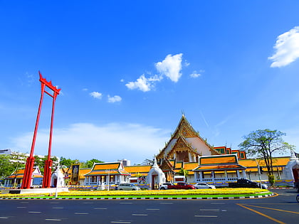
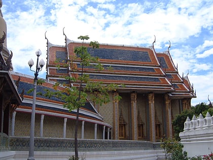
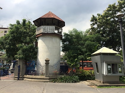
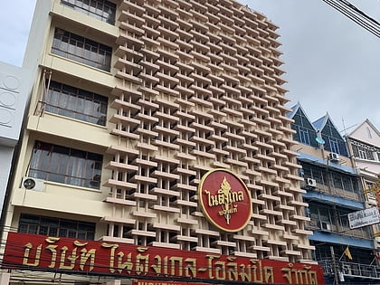
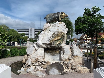
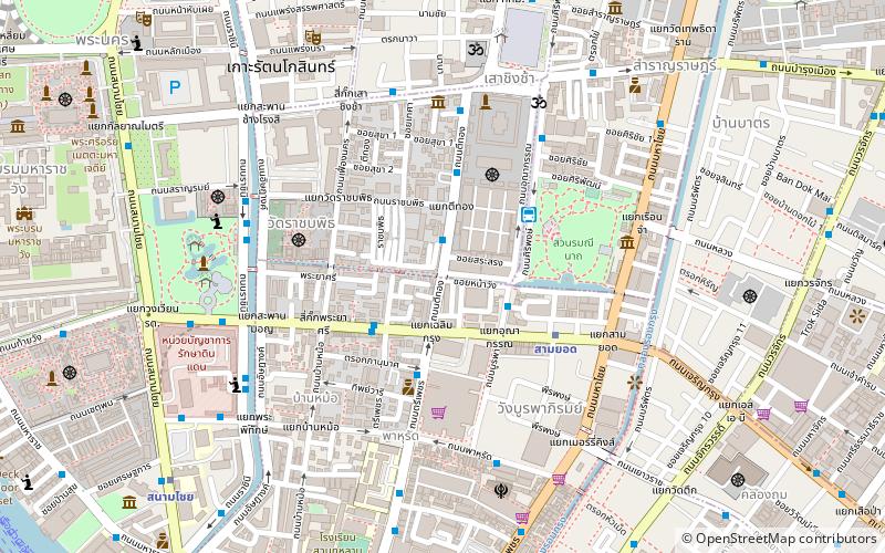
Ti Thong Road is one of the roads in inner Bangkok or Rattanakosin Island. It's located in Phra Nakhon district, the short road is only 525 metres linking Bamrung Mueang road beside to Wat Suthat and the corner of Giant Swing plaza to Charoen Krung road in front of Sala Chalermkrung Royal Theatre area, including connects to Fueang Nakhon road by Ratchabophit road at the side of Wat Ratchabophit. It's a road that was built since the reign of King Mongkut. ()
Coordinates: 13°44'53"N, 100°29'60"E
Address
กรุงรัตนโกสินทร์ (พระนคร)Bangkok
ContactAdd
Social media
Add
Day trips
Ti Thong Road – popular in the area (distance from the attraction)
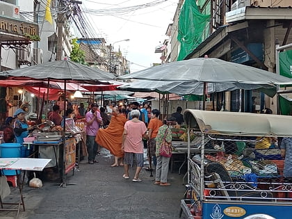
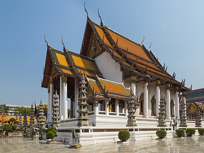
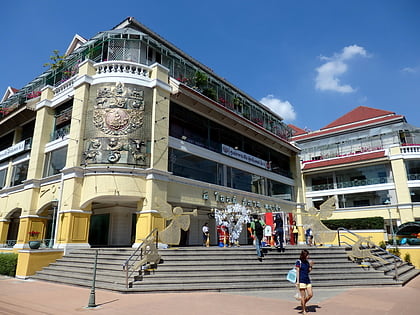
Nearby attractions include: Giant Swing, Trok Mo Market, Wat Suthat, Old Siam Plaza.
Frequently Asked Questions (FAQ)
Which popular attractions are close to Ti Thong Road?
Nearby attractions include Unakan Road, Bangkok (3 min walk), Sala Chalermkrung Royal Theatre, Bangkok (3 min walk), Trok Mo Market, Bangkok (4 min walk), Charoen Krung Road, Bangkok (4 min walk).
How to get to Ti Thong Road by public transport?
The nearest stations to Ti Thong Road:
Metro
Ferry
Bus
Train
Metro
- Sam Yot • Lines: MRT Blue (5 min walk)
- Sanam Chai • Lines: MRT Blue (12 min walk)
Ferry
- Memorial Bridge • Lines: เรือด่วนพิเศษธงส้ม, เรือประจำทาง (ไม่มีธง), เส้นทางเดินเรือโดยสารฯ คลองบางกอ (16 min walk)
- Yodpiman (16 min walk)
Bus
- After Democracy Monument • Lines: 2, 511 (16 min walk)
- Rattanakosin Exhibition Hall • Lines: 2, 511, S1 (16 min walk)
Train
- Bangkok (33 min walk)

