Atsadang Road, Bangkok
Facts and practical information
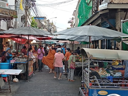
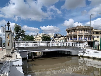
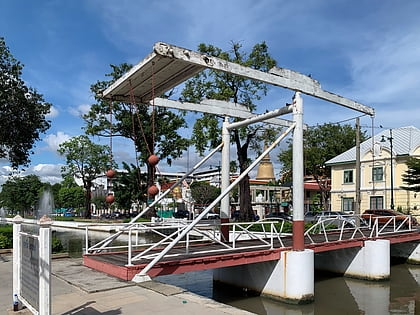
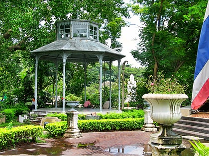
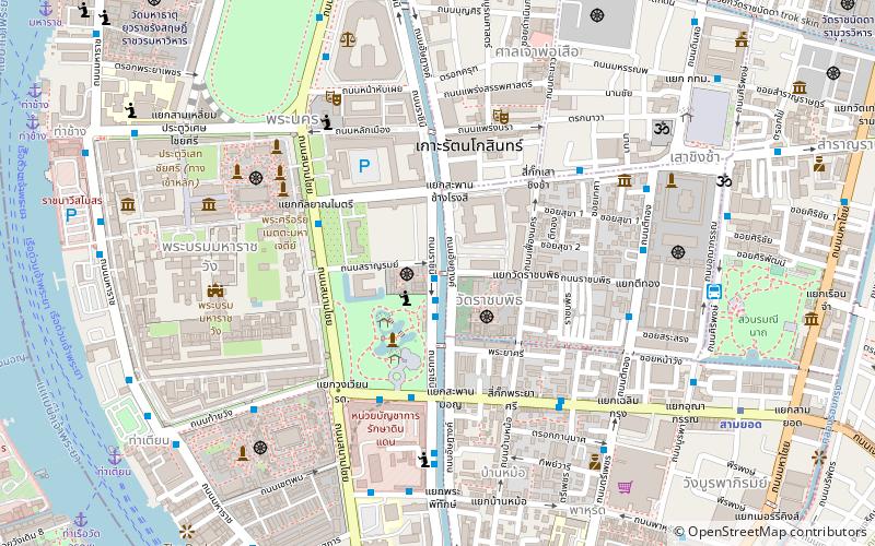
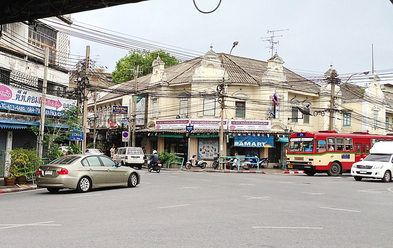
Atsadang Road is a road in inner Bangkok overlaps four Subdistricts of Phra Nakhon District, Bowon Niwet, San Chaopho Suea, Wat Ratchabophit, and Wang Burapha Phirom. It's starting from Ratchadamnoen Avenue in the area beside Sanam Luang and Phan Phiphop Lila Bridge pass through to the end at the junction of Chakkraphet Road and Charoen Rat 31 Bridge in the area of Pak Khlong Talat behind Ban Mo neighbourhood near the Chao Phraya River. There's Khlong Khu Mueang Doem or Khlong Lot parallel along the length. The opposite is Rachini Road. ()
กรุงรัตนโกสินทร์ (พระนคร)Bangkok
Atsadang Road – popular in the area (distance from the attraction)
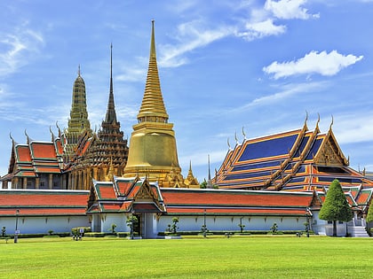
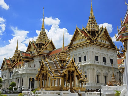
Nearby attractions include: Wat Phra Kaew, Grand Palace, Saranrom Palace, Trok Mo Market.
Frequently Asked Questions (FAQ)
Which popular attractions are close to Atsadang Road?
How to get to Atsadang Road by public transport?
Metro
- Sanam Chai • Lines: MRT Blue (10 min walk)
- Sam Yot • Lines: MRT Blue (12 min walk)
Ferry
- Tha Tien • Lines: เรือด่วนพิเศษธงส้ม, เรือท่องเที่ยวเจ้าพระยา, เรือประจำทาง (ไม่มีธง) (13 min walk)
- Tha Chang • Lines: เรือด่วนพิเศษธงส้ม, เรือด่วนพิเศษธงเขียว, เรือประจำทาง (ไม่มีธง), เส้นทางเดินเรือโดยสารฯ คลองบางกอ (15 min walk)
Bus
- Public Minivan Station (13 min walk)
- After Democracy Monument • Lines: 2, 511 (15 min walk)
Train
- Thonburi (36 min walk)

