Kasat Suek, Bangkok
Map
Gallery
Facts and practical information
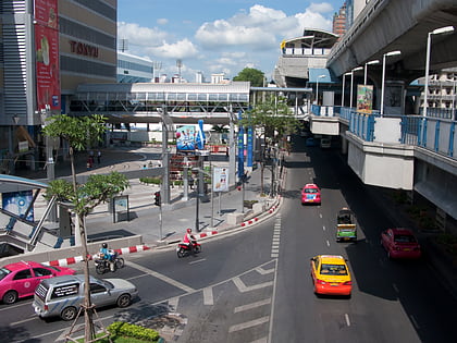
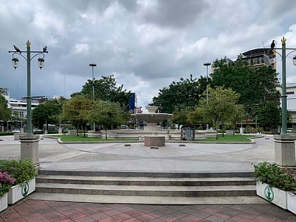
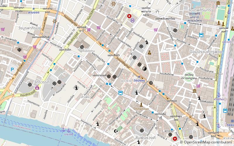
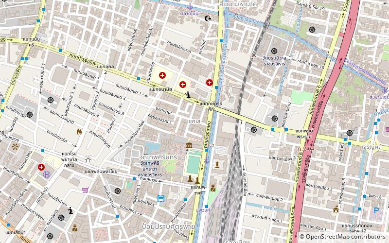
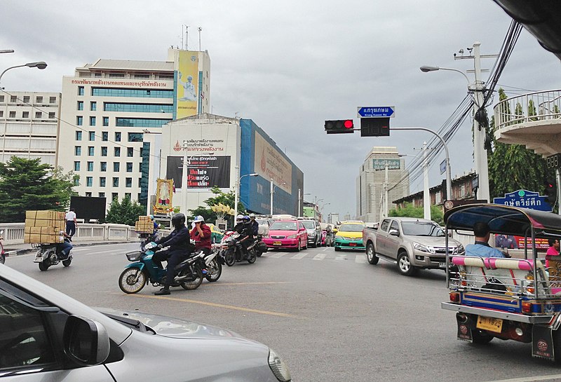
Kasat Suek refers to an intersection and its corresponding bridge on the periphery of Pom Prap Sattru Phai and Pathum Wan Districts, Bangkok. The intersection is also known by the names Bobae Intersection and Yotse Intersection. ()
Coordinates: 13°44'55"N, 100°30'57"E
Address
กรุงรัตนโกสินทร์ (ป้อมปราบศัตรูพ่าย)Bangkok
ContactAdd
Social media
Add
Day trips
Kasat Suek – popular in the area (distance from the attraction)
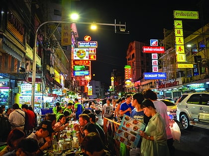
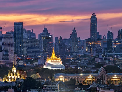
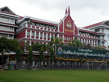
Nearby attractions include: Yaowarat Road, Wat Saket, Rama I Road, Debsirin School.
Frequently Asked Questions (FAQ)
Which popular attractions are close to Kasat Suek?
Nearby attractions include Debsirin School, Bangkok (2 min walk), Khlong Phadung Krung Kasem, Bangkok (3 min walk), Phlapphla Chai, Bangkok (8 min walk), Wat Borom Niwat, Bangkok (9 min walk).
How to get to Kasat Suek by public transport?
The nearest stations to Kasat Suek:
Ferry
Bus
Metro
Train
Ferry
- กระทรวงพลังงาน (3 min walk)
- ยศเส (4 min walk)
Bus
- มังกร2. จิระโรยขนส่ง (7 min walk)
- 2 • Lines: 2, 511, 8, S1 (15 min walk)
Metro
- Wat Mangkon • Lines: MRT Blue (16 min walk)
- Hua Lamphong • Lines: MRT Blue (20 min walk)
Train
- Bangkok (17 min walk)
- Yommarat (21 min walk)

