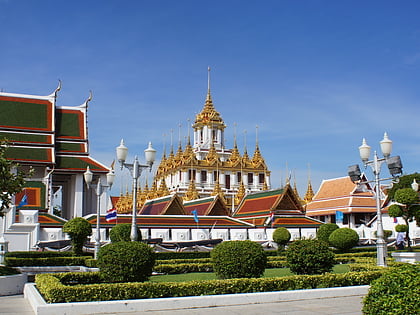
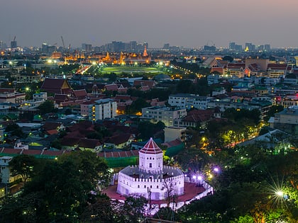
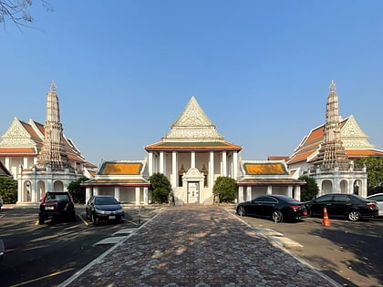
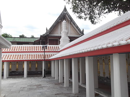
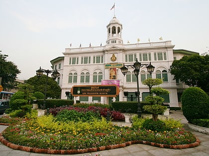
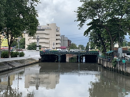
Lan Luang Road, Bangkok
Map
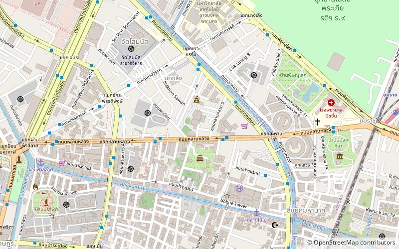
Map

Facts and practical information
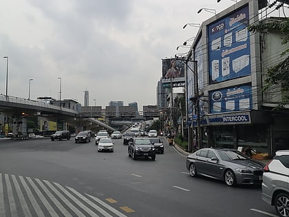
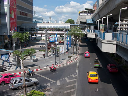
Lan Luang Road is a road in Bangkok, it runs in a short distance of just about 1.5 km. ()
Coordinates: 13°45'26"N, 100°30'48"E
Address
กรุงรัตนโกสินทร์ (ป้อมปราบศัตรูพ่าย)Bangkok
ContactAdd
Social media
Add
Day trips
Lan Luang Road – popular in the area (distance from the attraction)
Nearby attractions include: Wat Saket, Wat Benchamabophit, Rama I Road, Rajadamnern Stadium.
Frequently Asked Questions (FAQ)
Which popular attractions are close to Lan Luang Road?
Nearby attractions include Varadis Palace, Bangkok (3 min walk), Talat Nang Loeng, Bangkok (4 min walk), Chaturaphak Rangsarit Bridge, Bangkok (5 min walk), Thewakam Rangrak Bridge, Bangkok (6 min walk).
How to get to Lan Luang Road by public transport?
The nearest stations to Lan Luang Road:
Bus
Ferry
Train
Metro
Bus
- 2 • Lines: 2, 511, 8, S1 (3 min walk)
- A4 to Don Mueang airport 50bth • Lines: 2, 511, A4, S1 (11 min walk)
Ferry
- นครสวรรค์ (5 min walk)
- แยกหลานหลวง (7 min walk)
Train
- Yommarat (15 min walk)
- Uruphong (23 min walk)
Metro
- Sam Yot • Lines: MRT Blue (26 min walk)
- Wat Mangkon • Lines: MRT Blue (27 min walk)
