Rama III Bridge, Bangkok
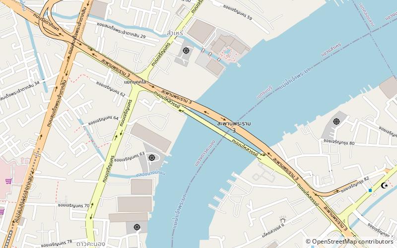
Map

Gallery

Facts and practical information
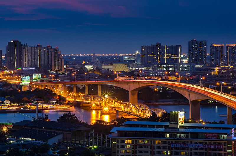
The Rama III Bridge, also known as the New Krungthep Bridge, is a bridge crossing the Chao Phraya River in Bangkok, Thailand. The bridge was completed in 1999 and was designed to alleviate traffic congestion on the adjacent Krungthep Bridge. The bridge was named in honour of King Nangklao. ()
Local name: สะพานพระราม 3 Completed: 1999 (27 years ago)Width: 75 ftCoordinates: 13°42'5"N, 100°29'28"E
Address
Rama III Rdธนบุรี (thnburi)Bangkok 10120
ContactAdd
Social media
Add
Day trips
Rama III Bridge – popular in the area (distance from the attraction)
Nearby attractions include: Asiatique, Krungthep Bridge, Bangkok Protestant Cemetery, Thai Bank Museum.
Frequently Asked Questions (FAQ)
Which popular attractions are close to Rama III Bridge?
Nearby attractions include Krungthep Bridge, Bangkok (2 min walk), Mahai Sawan Road, Bangkok (11 min walk), Samre, Bangkok (15 min walk), Dao Khanong, Bangkok (19 min walk).
How to get to Rama III Bridge by public transport?
The nearest stations to Rama III Bridge:
Bus
Ferry
Metro
Bus
- Rama III Bridge (21 min walk)
- Asiatique The Riverfont (23 min walk)
Ferry
- Wat Rajsingkorn • Lines: เรือด่วนพิเศษธงส้ม, เรือประจำทาง (ไม่มีธง) (24 min walk)
- Wat Worachanyawas (31 min walk)
Metro
- Talat Phlu • Lines: BTS Silom (34 min walk)


