Samre, Bangkok
Map

Map

Facts and practical information
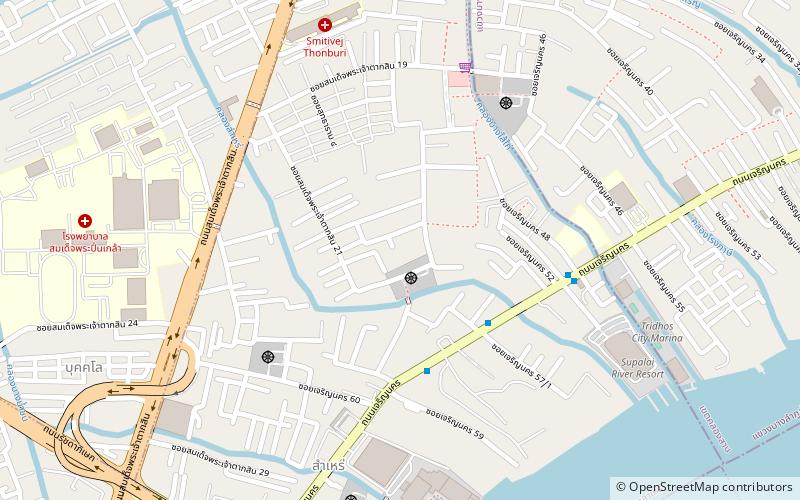
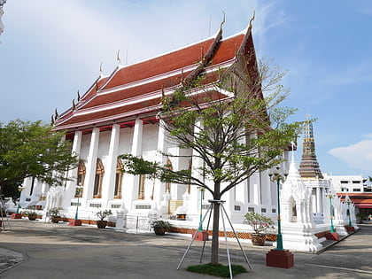
Samre, also spelled Sam Re and Samray, is a subdistrict of Thon Buri District, Bangkok, Thailand. It is also the name of a neighbourhood around the area. ()
Coordinates: 13°42'35"N, 100°29'29"E
Address
ธนบุรี (thnburi)Bangkok
ContactAdd
Social media
Add
Day trips
Samre – popular in the area (distance from the attraction)
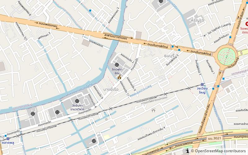
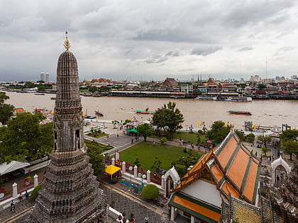
Nearby attractions include: Wat Intharam, Asiatique, Thonburi, Krungthep Bridge.
Frequently Asked Questions (FAQ)
Which popular attractions are close to Samre?
Nearby attractions include Mahai Sawan Road, Bangkok (13 min walk), Rama III Bridge, Bangkok (15 min walk), Krungthep Bridge, Bangkok (16 min walk), Dao Khanong, Bangkok (21 min walk).
How to get to Samre by public transport?
The nearest stations to Samre:
Metro
Ferry
Bus
Train
Metro
- Pho Nimit • Lines: BTS Silom (20 min walk)
- Wongwian Yai • Lines: BTS Silom (22 min walk)
Ferry
- Wat Rajsingkorn • Lines: เรือด่วนพิเศษธงส้ม, เรือประจำทาง (ไม่มีธง) (22 min walk)
- Wat Worachanyawas (27 min walk)
Bus
- Asiatique The Riverfont (24 min walk)
- Ratchapruek (25 min walk)
Train
- Wongwian Yai (27 min walk)
- Talat Phlu (31 min walk)


