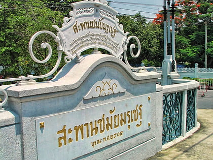
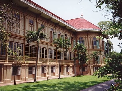
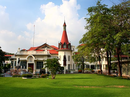
Ratchawithi Road, Bangkok
Map
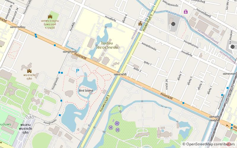
Map

Facts and practical information
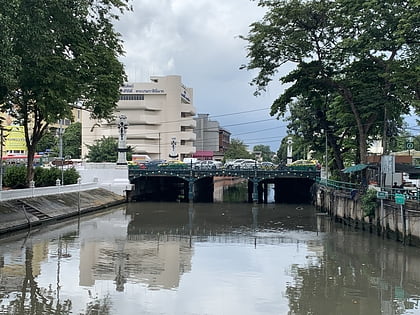
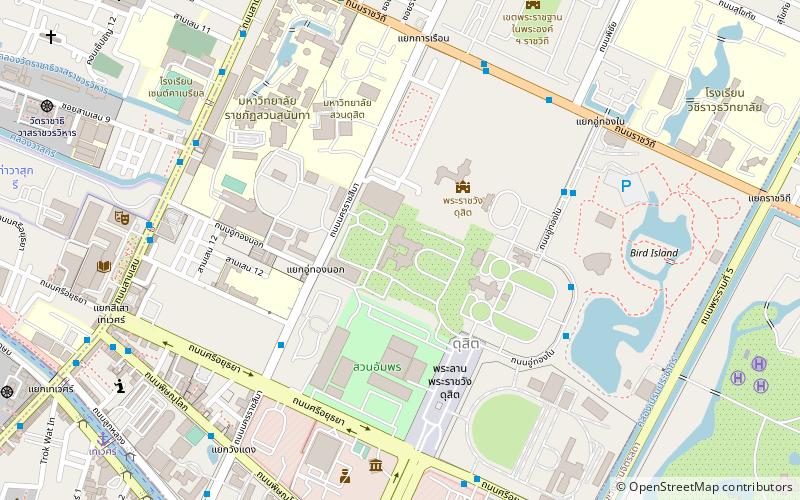
Ratchawithi Road, also spelled Rajvithi is a major road in Bangkok, Thailand. It begins in Ratchathewi district at Sam Liam Din Daeng Junction, where it intersects with Din Daeng Road and Ratchaprarop Road, and runs northwest, past Victory Monument Circle, through Dusit district, and ultimately crossing the Chao Phraya River on Krung Thon Bridge and ending in Bang Phlat district at Bang Phlat Intersection, where it intersects with Sirindhorn Road and Charan Sanitwong Road. ()
Address
กรุงรัตนโกสินทร์ (ดุสิต)Bangkok
ContactAdd
Social media
Add
Day trips
Ratchawithi Road – popular in the area (distance from the attraction)
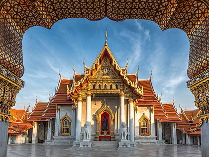
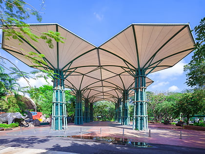
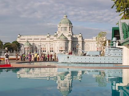
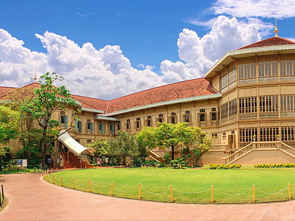
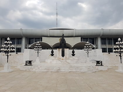
Nearby attractions include: Wat Benchamabophit, Dusit Zoo, Ananta Samakhom Throne Hall, Vimanmek Mansion.
Frequently Asked Questions (FAQ)
Which popular attractions are close to Ratchawithi Road?
Nearby attractions include Dusit Zoo, Bangkok (6 min walk), Royal Elephant National Museum, Bangkok (7 min walk), Chitralada Royal Villa, Bangkok (10 min walk), Abhisek Dusit Throne Hall, Bangkok (11 min walk).
How to get to Ratchawithi Road by public transport?
The nearest stations to Ratchawithi Road:
Train
Bus
Ferry
Metro
Train
- Ramathibodi Hospital (15 min walk)
- Sam Sen (22 min walk)
Bus
- Neurological Institute of Thailand • Lines: 28, 515, 539 (16 min walk)
- Opposite Soi Suan Ngoen • Lines: 536 (19 min walk)
Ferry
- ประชาธิปไตย (25 min walk)
- ราชดำเนินนอก (25 min walk)
Metro
- Phaya Thai • Lines: BTS Sukhumvit (39 min walk)

