Tatamailau
Facts and practical information
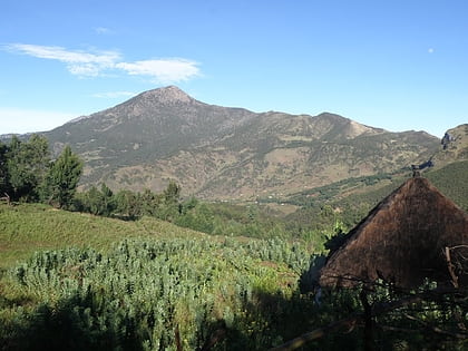
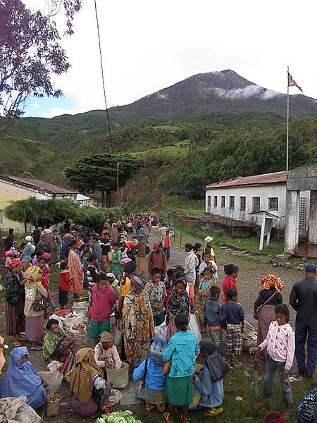
Tatamailau, often referred to as Mount Ramelau, is Timor Leste's highest peak and a revered natural landmark that offers an invigorating hiking trail for adventurers. Standing at an impressive altitude of 2,986 meters, Tatamailau is not just a mountain; it's a symbol of national pride and a site of spiritual significance for the Timorese people. The peak is a pilgrimage site, particularly during Easter, when locals trek to its summit to attend a sunrise mass.
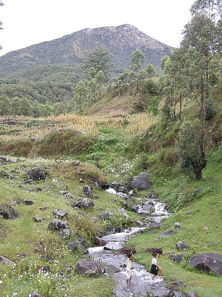
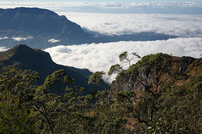
The journey to the top of Tatamailau is both a physical and a spiritual challenge that rewards hikers with breathtaking panoramic views of Timor Leste. The trail itself is a testament to the rugged beauty of the country's landscape, winding through verdant forests and offering glimpses of local wildlife. The hike can be undertaken from the village of Hato Bulico, where the path begins with a gentle incline before presenting steeper sections as one ascends.
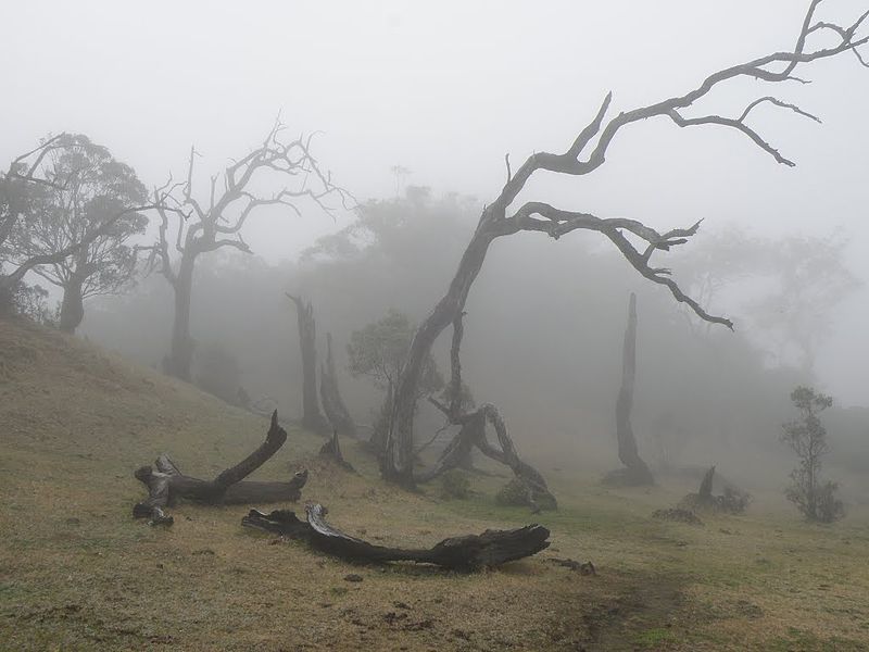
Due to the mountain's elevation, the climate can be significantly cooler than the lowlands, providing a refreshing escape from the tropical heat. The summit is often shrouded in mist, adding to the mystical atmosphere that envelops Tatamailau. On clear days, the view from the top extends across the island, reaching as far as the north and south coasts, and even to the neighboring islands on the horizon.
Those planning to hike Tatamailau should be well-prepared for the trek, which typically takes about three to four hours to reach the summit. Suitable clothing, sturdy footwear, and provisions for hydration and nutrition are essential. Local guides are available and recommended, not only for their knowledge of the trail but also for the cultural insights they provide along the way.
Ermera
Tatamailau – popular in the area (distance from the attraction)
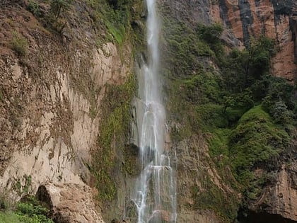
Nearby attractions include: Bandeira Waterfall.
