Castara

Gallery (2)
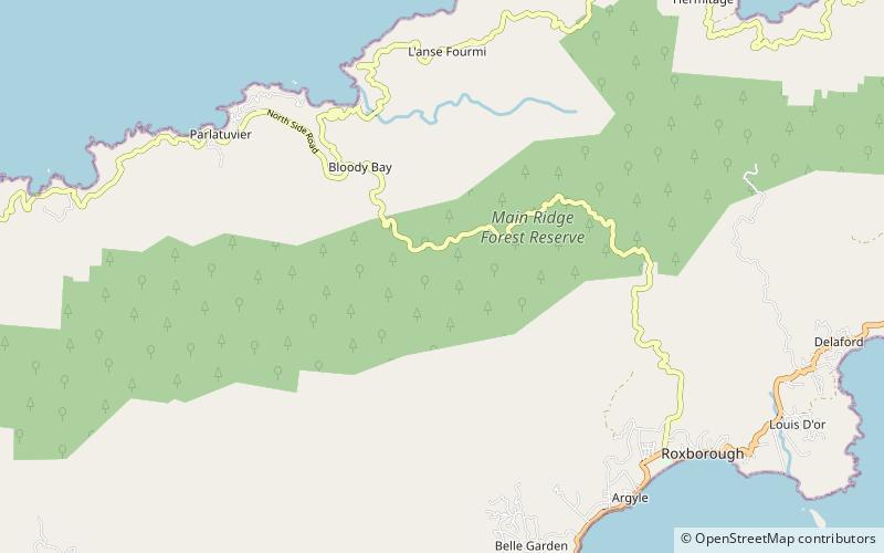
Map
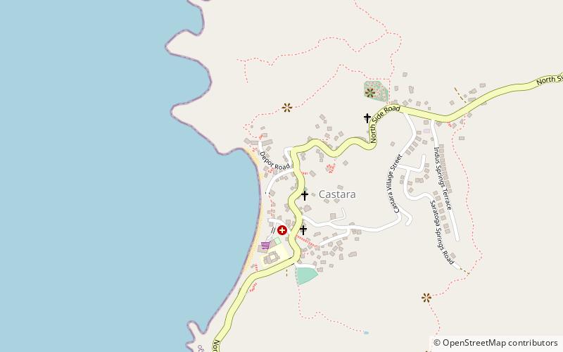
Map
Gallery
Facts and practical information
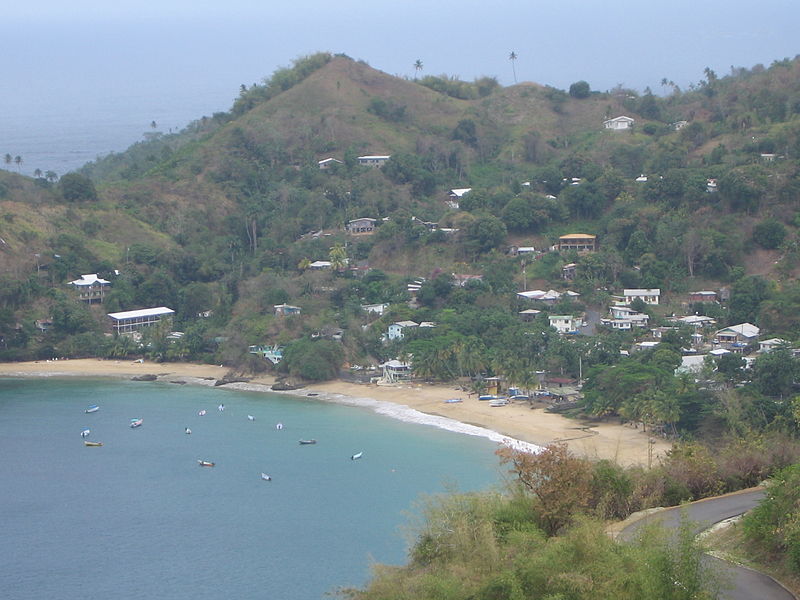
Castara is a seaside village on the leeward coast of the island of Tobago, the smaller of the two islands in the twin-island Republic of Trinidad and Tobago. Castara's economy is dependent primarily on fishing and agriculture, with tourism playing an increasingly important role since the 1990s. ()
Coordinates: 11°16'53"N, 60°41'42"W
Location
Tobago
ContactAdd
Social media
Add
Day trips