Main Ridge, Tobago

Map
Facts and practical information
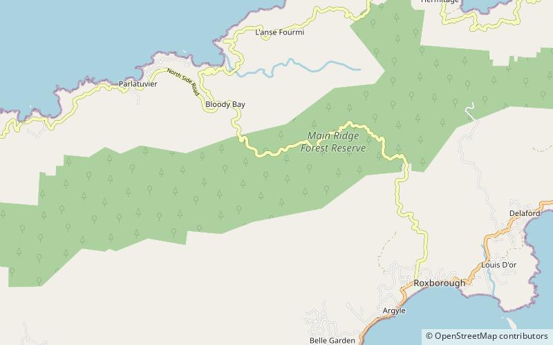
Main Ridge is the main mountainous ridge on the island of Tobago, Trinidad and Tobago. It is a 29-kilometre chain of hills which runs from southwest to northeast between the Caribbean Sea and the Southern Tobago fault system and reaches a maximum height of 572 m. The Main Ridge Forest Reserve, which was legally established in 1776, is one of the oldest protected areas in the world. It is a popular site for birdwatching and ecotourism. Main Ridge provides important habitat for native plants and animals, including several species endemic to Tobago. ()
Coordinates: 11°16'35"N, 60°36'60"W
Address
Tobago
ContactAdd
Social media
Add
Day trips
Main Ridge – popular in the area (distance from the attraction)
Nearby attractions include: Englishman's Bay, Castara, Parlatuvier Bay.


