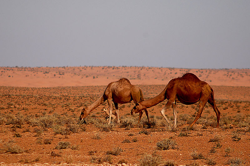
Jebil National Park

Facts and practical information
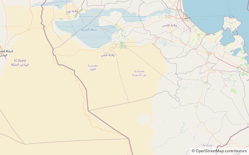
Jebil is a national park in Tunisia situated within the Sahara desert. Covering an area of 150,000 hectares, it is the country's second-largest national park, after Senghar-Jebbes National Park. Though large, it is relatively new having been designated a national park in 1994. Until Senghar-Jebbes was declared, it was the only national park within the Sahara desert proper. ()
Kebili
Best Ways to Experience the Park
Wildlife
AnimalsSee what popular animal species you can meet in this location.
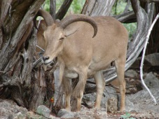
Barbary Sheep, Arui, Aoudad
The Barbary sheep, also known as arrui or aoudad, is a captivating caprid species native to the rugged mountains of North Africa. There are six recognized subspecies of this animal. Although they are rare in their native regions, Barbary sheep have been introduced...
Mammals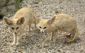
Fennec fox
The fennec fox is a small, nocturnal fox native to the Sahara Desert and the Sinai Peninsula. It is easily identified by its large ears, which assist in thermoregulation in the hot desert climate, along with its specialized coat and kidneys that conserve water.
Mammals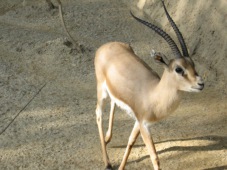
Gazelle
A gazelle is a type of antelope that belongs to the genera Gazella, Eudorcas, and Nanger. Renowned for their speed and agility, gazelles can sprint at remarkable velocities. They primarily inhabit African deserts, grasslands, and savannas but can also be found in parts...
Mammals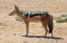
Jackal
Jackals are intriguing, medium-sized mammals that belong to the Canis genus, which also includes wolves, coyotes, and domestic dogs. These adaptable creatures are known for their omnivorous diet and opportunistic feeding habits.
Mammals