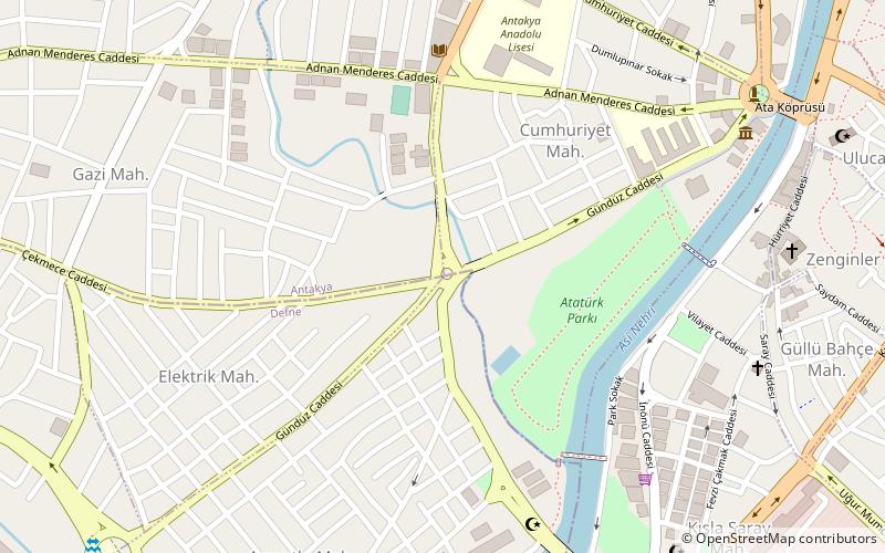
Tell Judaidah, Antakya
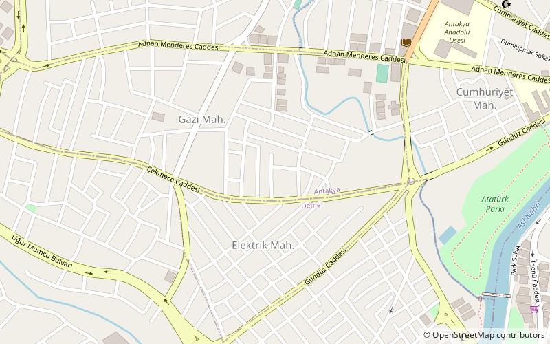
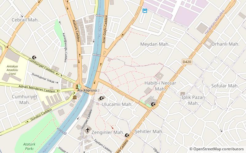
Map
Facts and practical information
Tell Judaidah is an archaeological site in south-eastern Turkey, in the province of Hatay. It is one of the largest excavated ancient sites in the Amuq valley, in the plain of Antioch. Settlement at this site ranges from the Neolithic through the Byzantine Period. ()
Coordinates: 36°12'0"N, 36°9'0"E
Address
Antakya
ContactAdd
Social media
Add
Day trips
Tell Judaidah – popular in the area (distance from the attraction)
Nearby attractions include: Hatay Archaeology Museum, Antiochia Lamotis, Antakya Sport Hall, Antakya Synagogue.
Frequently Asked Questions (FAQ)
Which popular attractions are close to Tell Judaidah?
Nearby attractions include Defne, Antakya (6 min walk), Antakya Sport Hall, Antakya (10 min walk), Hatay Archaeology Museum, Antakya (15 min walk), Antiochia Lamotis, Antakya (20 min walk).
How to get to Tell Judaidah by public transport?
The nearest stations to Tell Judaidah:
Bus
Bus
- Bus Station Hatay (25 min walk)
