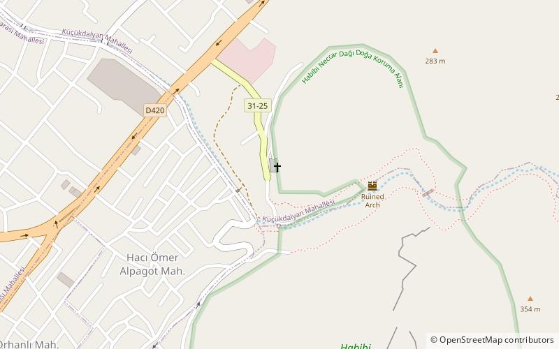
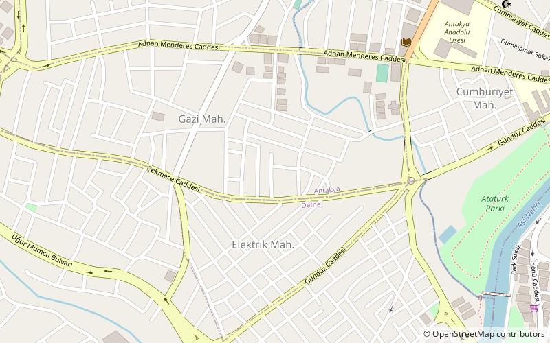
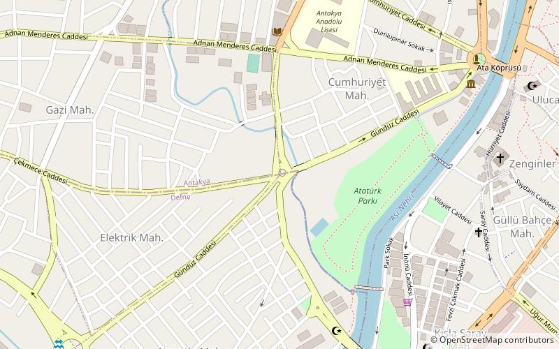
Antiochia Lamotis, Antakya
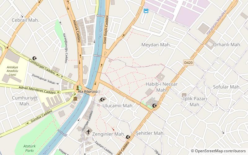
Map
Facts and practical information
Antiochia Lamotis, Antiochia in Isauria, or Antiochia super Cragum is a Hellenistic city in ancient Cilicia, Anatolia at the mouth of Lamos river. The site is on the coast a few km southwest of Erdemli, Mersin Province, Turkey. ()
Coordinates: 36°12'11"N, 36°9'48"E
Address
Antakya
ContactAdd
Social media
Add
Day trips
Antiochia Lamotis – popular in the area (distance from the attraction)
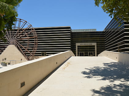
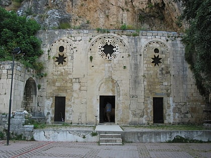
Nearby attractions include: Hatay Archaeology Museum, Church of Saint Peter, Antakya Sport Hall, Antakya Synagogue.
Frequently Asked Questions (FAQ)
Which popular attractions are close to Antiochia Lamotis?
Nearby attractions include Hatay Archaeology Museum, Antakya (6 min walk), Antakya Synagogue, Antakya (6 min walk), Antakya Sport Hall, Antakya (12 min walk), Defne, Antakya (15 min walk).
How to get to Antiochia Lamotis by public transport?
The nearest stations to Antiochia Lamotis:
Bus
Bus
- Bus Station Hatay (7 min walk)
