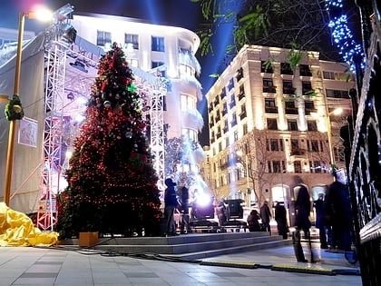
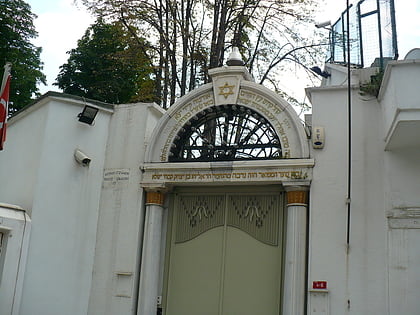
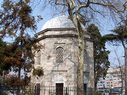
Barbaros Boulevard, Istanbul
Map

Map

Facts and practical information
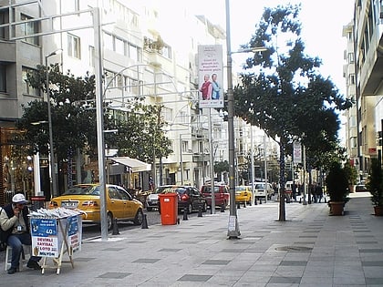
The Barbaros Boulevard is a 3.1 km -long major street in the Beşiktaş district on the European side of Istanbul, Turkey. It runs in a straight line in south–north direction from Beşiktaş Square over Yıldız up to Zincirlikuyu, where it passes over to Büyükdere Avenue. It is named after the Ottoman admiral of the fleet Hayreddin Barbarossa, whose tomb is located in Beşiktaş. ()
Local name: Barbaros BulvarıCoordinates: 41°3'14"N, 29°0'34"E
Address
Beşiktaş (Yıldız)Istanbul
ContactAdd
Social media
Add
Day trips
Barbaros Boulevard – popular in the area (distance from the attraction)
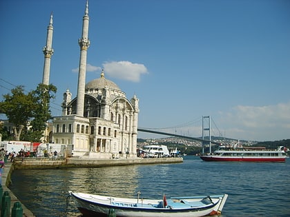
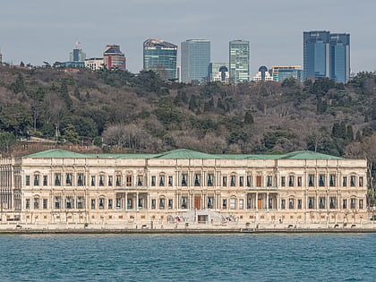
Nearby attractions include: Nişantaşı, Ortaköy Mosque, Zorlu Center, Yıldız Palace.
Frequently Asked Questions (FAQ)
Which popular attractions are close to Barbaros Boulevard?
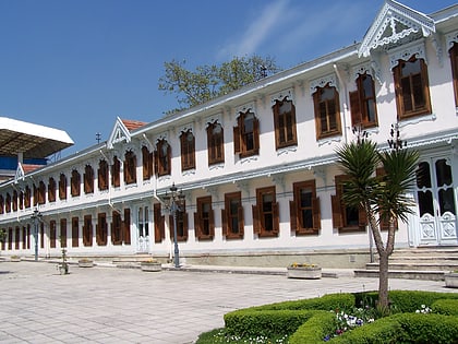
Nearby attractions include Yıldız Technical University (6 min walk), Yıldız Palace, Istanbul (7 min walk), Yıldız Clock Tower, Istanbul (8 min walk), Yıldız Hamidiye Camii, Istanbul (8 min walk).
How to get to Barbaros Boulevard by public transport?
The nearest stations to Barbaros Boulevard:
Bus
Ferry
Aerialway
Metro
Bus
- Yıldız Teknik Üniversitesi • Lines: 43R, 559C (3 min walk)
- Ertuğrul Sitesi • Lines: 43R, 559C (4 min walk)
Ferry
- Beşiktaş (25 min walk)
Aerialway
- Maçka • Lines: TF1 Maçka - Taşkışla (26 min walk)
- Taşkışla • Lines: TF1 Maçka - Taşkışla (32 min walk)
Metro
- Gayrettepe • Lines: M2 (27 min walk)
- Mecidiyeköy • Lines: M7 (28 min walk)

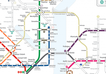 Metro
Metro