Corycus, Beydağları Coastal National Park

Map
Facts and practical information
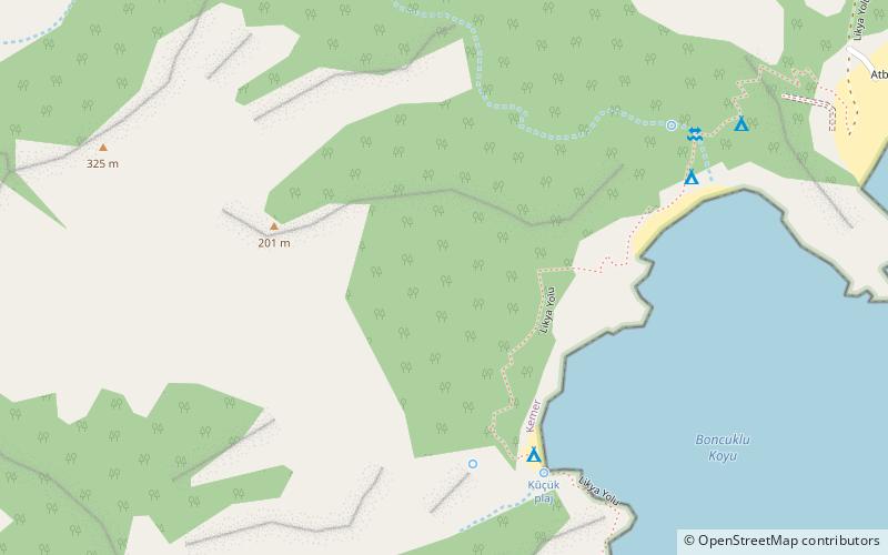
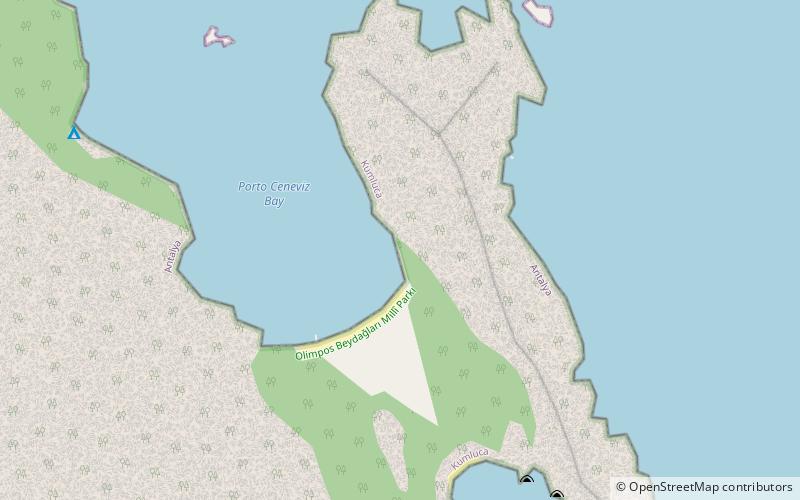
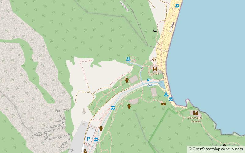
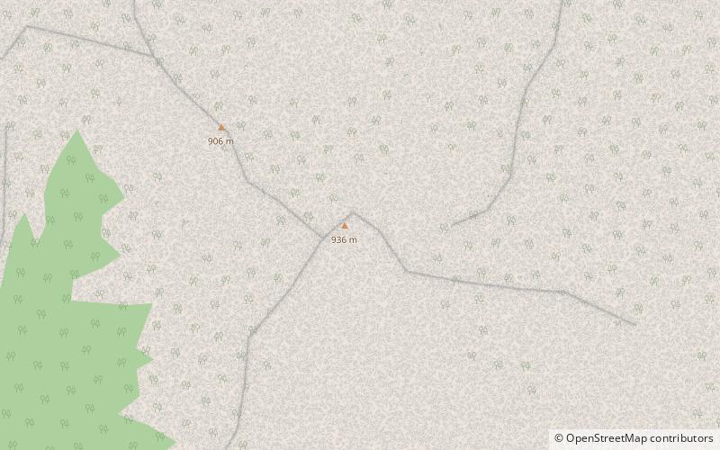
Corycus was a Greek port city in ancient Lycia. The location of the city has not been determined with certainty. The Barrington Atlas of the Greek and Roman World places the city at 36°26′10.1″N 30°28′42.8″E. This is a short distance north of the modern town Çıralı in the Kumluca district of Antalya Province, Turkey. ()
Coordinates: 36°26'10"N, 30°28'43"E
Address
Beydağları Coastal National Park
ContactAdd
Social media
Add
Day trips
Corycus – popular in the area (distance from the attraction)
Nearby attractions include: Siderus, Mount Omurga, Campo Portakal Eco Glamping, Musa Dağı.


