Cistern of Aetius, Istanbul
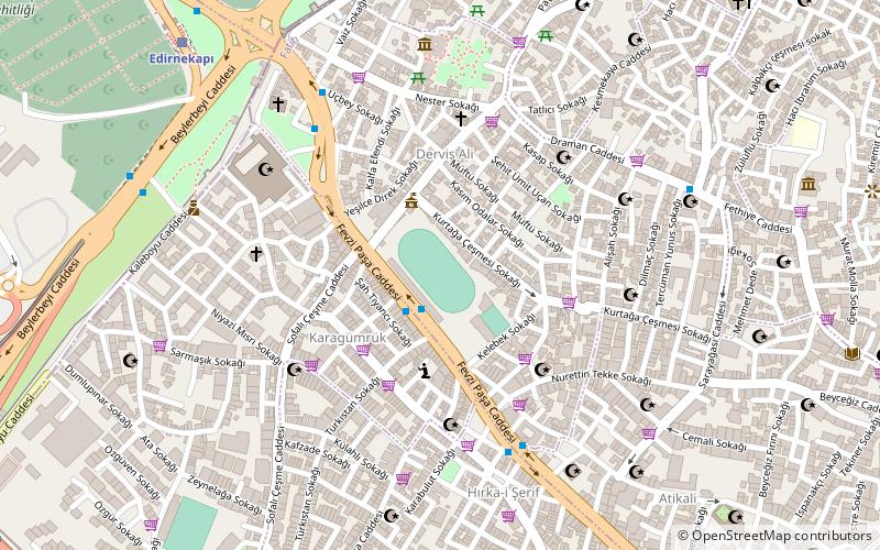
Map
Map

Facts and practical information
The Cistern of Aetius was an important Byzantine water reservoir in the city of Constantinople. Once one of the largest Byzantine cisterns, it is now a football stadium in Istanbul. Since 1928 it has been known as Karagümrük stadyumu, 'Karagümrük stadium' or Vefa stadyumu, 'Vefa stadium', while in the Ottoman period it was known as the Turkish: Çukurbostan, lit. 'sunken garden'. ()
Local name: Aetios Sarnıcı Architectural style: Byzantine architectureCoordinates: 41°1'40"N, 28°56'21"E
Address
Fatih (Dervis Ali)Istanbul
ContactAdd
Social media
Add
Day trips
Cistern of Aetius – popular in the area (distance from the attraction)
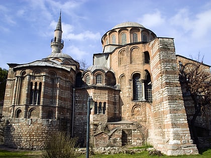
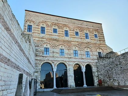
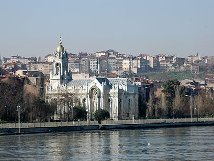
Nearby attractions include: Chora Church, Tekfur Sarayı, Bulgarian St. Stephen Church, Feshane.
Frequently Asked Questions (FAQ)
Which popular attractions are close to Cistern of Aetius?
Nearby attractions include Kasım Agha Mosque (3 min walk), Kefeli Mosque, Istanbul (5 min walk), Bogdan Saray (6 min walk), Mihrimah Sultan Mosque, Istanbul (6 min walk).
How to get to Cistern of Aetius by public transport?
The nearest stations to Cistern of Aetius:
Bus
Light rail
Tram
Metro
Bus
- Edirnekapi Kaleboyu • Lines: 500T (8 min walk)
Light rail
- Edirnekapı • Lines: T4 (10 min walk)
- Şehitlik • Lines: T4 (19 min walk)
Tram
- Edirnekapı • Lines: T4 (10 min walk)
- Vatan • Lines: T4 (14 min walk)
Metro
- Topkapı Ulubatlı • Lines: M1A, M1B (14 min walk)
- Emniyet - Fatih • Lines: M1A, M1B (19 min walk)

 Metro
Metro