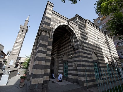
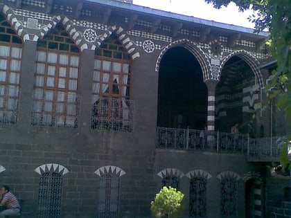
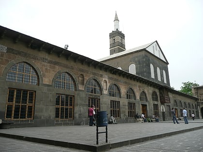
Artuklu Palace, Diyarbakir
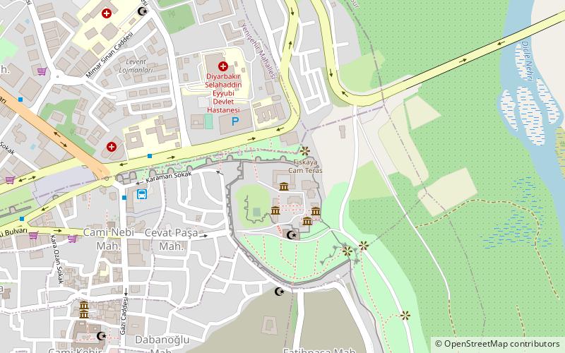
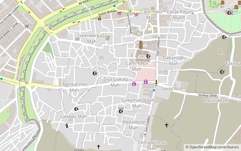
Map
Facts and practical information
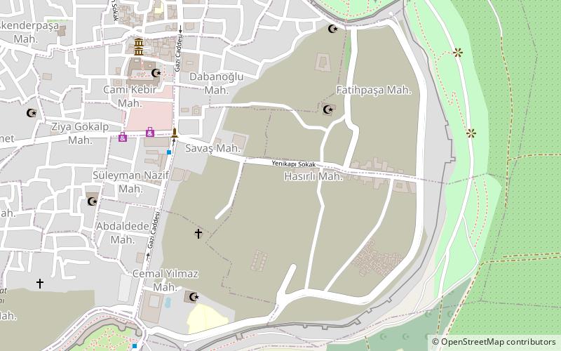
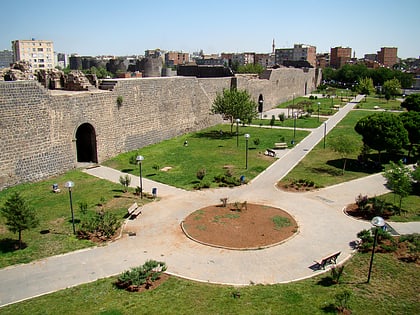
The Artuklu Palace or Artukid Palace or Artuqid Palace was the seat of the Diyarbakır branch of the Artuqid dynasty, a Turkish Beylik that ruled eastern Anatolia and Al-Jazira in the 12th and 13th centuries. The palace was situated in the present-day İçkale neighborhood, inside the Diyarbakır City Walls. Built during the reign of Nasir al-Din Mahmud and partially excavated in the 1960s, the main body of the palace is today still buried under a mound. ()
Local name: Artuklu SarayıCoordinates: 37°54'59"N, 40°14'30"E
Address
Diyarbakir
ContactAdd
Social media
Add
Day trips
Artuklu Palace – popular in the area (distance from the attraction)
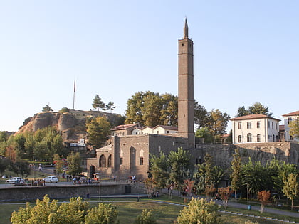
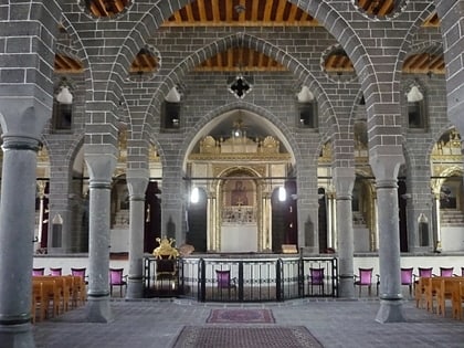
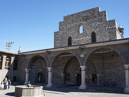
Nearby attractions include: Hazreti Süleyman Mosque, Behram Pasha Mosque, St. Giragos Armenian Church, St. Mary Church.
Frequently Asked Questions (FAQ)
Which popular attractions are close to Artuklu Palace?
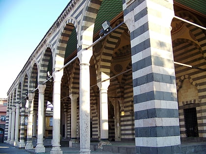
Nearby attractions include Hazreti Süleyman Mosque, Diyarbakir (3 min walk), Diyarbakır Grand Mosque, Diyarbakir (9 min walk), Hasan Paşa Hanı, Diyarbakir (9 min walk), Cahit Sıtkı Tarancı Museum, Diyarbakir (11 min walk).
How to get to Artuklu Palace by public transport?
The nearest stations to Artuklu Palace:
Bus
Bus
- İlçeler Arası Otogar (6 min walk)
