Folkart Towers, Izmir
Map
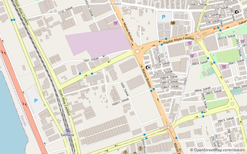
Map

Facts and practical information
Folkart Towers are 47-floor twin skyscrapers in the Bayraklı district of the Turkish city of İzmir. Reaching a structural height of 200 m above ground level, they were the tallest buildings in İzmir between 2014 and 2017, until the completion of the 48-floor Mistral Office Tower. ()
Alternative names: Opened: 2014 (12 years ago)Height: 656 ftFloors: 47Coordinates: 38°27'13"N, 27°10'34"E
Address
Izmir
ContactAdd
Social media
Add
Day trips
Folkart Towers – popular in the area (distance from the attraction)
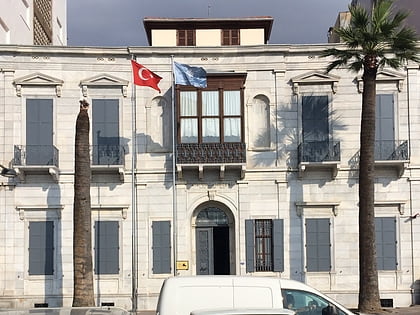
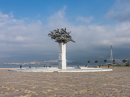
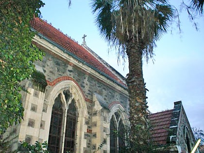
Nearby attractions include: İzmir Atatürk Museum, Gündoğdu Square, St. John Evangelist Anglican Church, Lozan Square.
Frequently Asked Questions (FAQ)
How to get to Folkart Towers by public transport?
The nearest stations to Folkart Towers:
Bus
Train
Metro
Tram
Bus
- Halide Edip Adıvar • Lines: 102, 249, 328, 501, 502, 503, 504, 515, 543, 599, 930, 963 (4 min walk)
- Slovakya Konsolosluğu • Lines: 338 (4 min walk)
Train
- Salhane İzban İstasyonu (8 min walk)
- Bayraklı (25 min walk)
Metro
- Stadyum • Lines: M1 (21 min walk)
- Sanayi • Lines: M1 (22 min walk)
Tram
- Havagazı • Lines: T2 (35 min walk)
- Üniversite • Lines: T2 (36 min walk)

