Şeyh Süleyman Mosque, Istanbul
Map
Facts and practical information
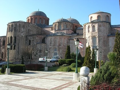
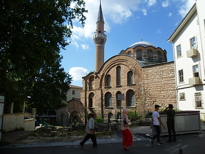
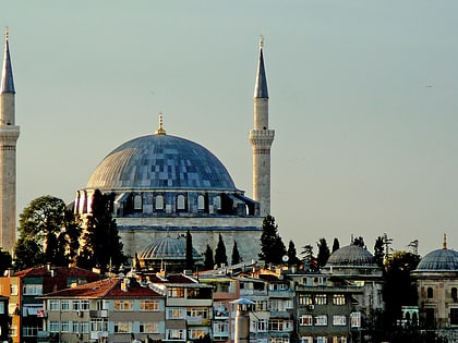
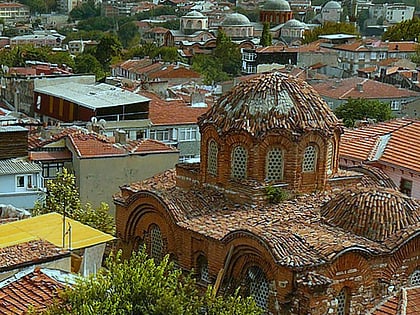
Şeyh Süleyman Mosque is a mosque in Istanbul converted from a former Byzantine building which was part of the Eastern Orthodox Pantokrator Monastery. Its usage during the Byzantine era is unclear. The small building is a minor example of architecture of the Byzantine middle period in Constantinople. ()
Alternative names: Completed: 1124 (902 years ago)Architectural style: Byzantine architectureCoordinates: 41°1'9"N, 28°57'19"E
Address
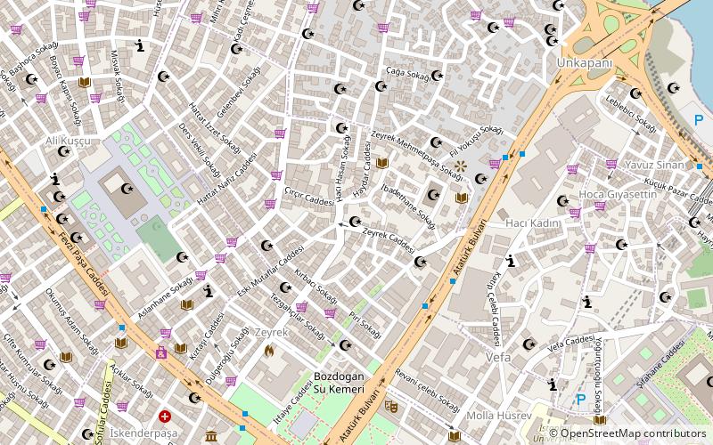
Fatih (Zeyrek)Istanbul
ContactAdd
Social media
Add
Day trips
Şeyh Süleyman Mosque – popular in the area (distance from the attraction)
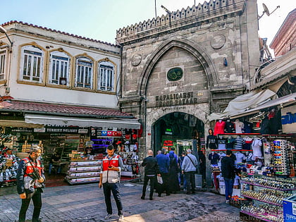
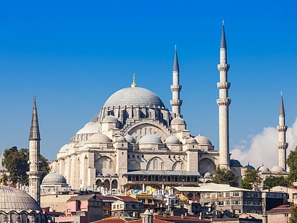
Nearby attractions include: Grand Bazaar, Spice Bazaar, Süleymaniye Mosque, Mahmutpasha Bazaar.
Frequently Asked Questions (FAQ)
Which popular attractions are close to Şeyh Süleyman Mosque?
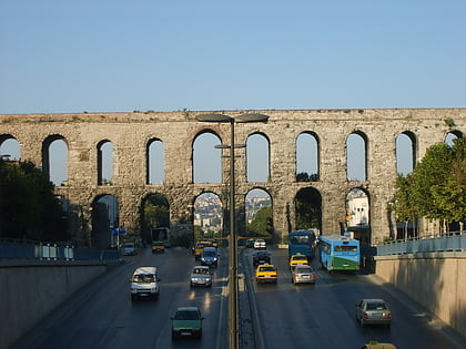
Nearby attractions include Sanki Yedim Camii (3 min walk), Eski İmaret Camii, Istanbul (5 min walk), Zeyrek Mosque, Istanbul (5 min walk), Valens Aqueduct, Istanbul (7 min walk).
How to get to Şeyh Süleyman Mosque by public transport?
The nearest stations to Şeyh Süleyman Mosque:
Bus
Tram
Metro
Ferry
Train
Light rail
Bus
- Vefa • Lines: 77A (4 min walk)
- Unkapanı • Lines: 77A (6 min walk)
Tram
- Cibali • Lines: T5 (12 min walk)
- Fener • Lines: T5 (17 min walk)
Metro
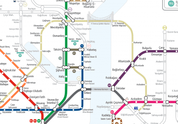
- Aksaray • Lines: M1A, M1B (16 min walk)
- Emniyet - Fatih • Lines: M1A, M1B (22 min walk)
Ferry
- Eminönü (20 min walk)
- Eminonu Iskelesi (26 min walk)
Train
- Yenikapı (26 min walk)
- Karaköy Station, Tünel Line (26 min walk)
Light rail
- Edirnekapı • Lines: T4 (36 min walk)
 Metro
Metro