Bostancı, Istanbul
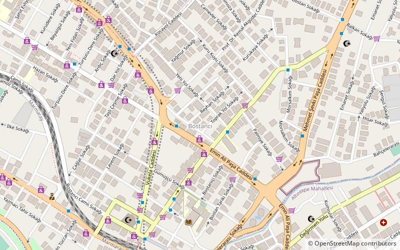
Map
Gallery
Facts and practical information
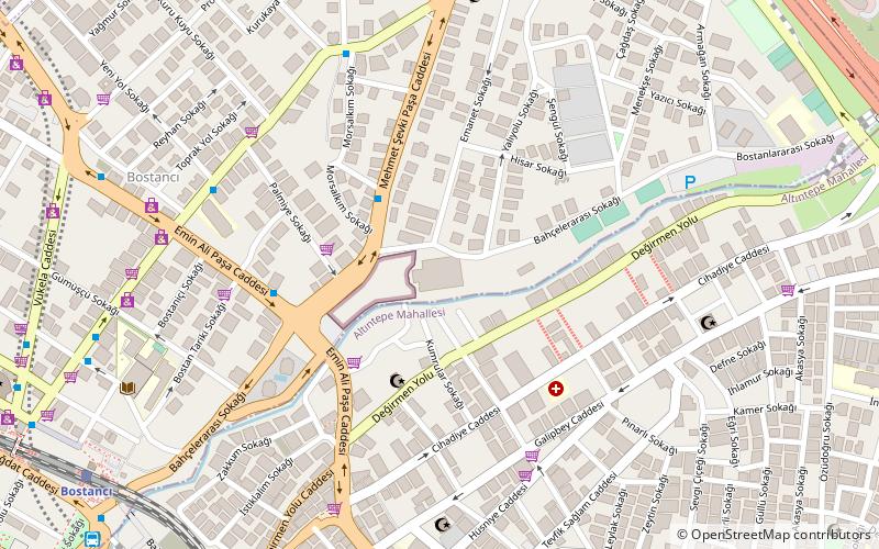
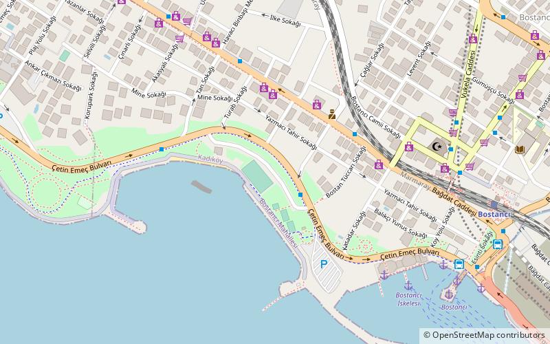
Bostancı is a neighbourhood of Kadıköy, located on the Anatolian side of Istanbul, Turkey. The neighbourhood faces the Sea of Marmara and is not far from the Princes' Islands. As the easternmost neighbourhood of the Kadıköy district; it borders Suadiye and Kozyatağı to the west, İçerenköy to the north, and Altıntepe to the east. ()
Local name: Bostancı, KadıköyCoordinates: 40°57'30"N, 29°5'48"E
Address
Kadiköy (Bostancı)Istanbul
ContactAdd
Social media
Add
Day trips
Bostancı – popular in the area (distance from the attraction)
Nearby attractions include: Bağdat Avenue, Bostancı Gösteri Merkezi, Bostancı Ferry Terminal, Kozyatağı.
Frequently Asked Questions (FAQ)
Which popular attractions are close to Bostancı?
Nearby attractions include Bostancı Gösteri Merkezi, Istanbul (8 min walk), Bostancı Ferry Terminal, Istanbul (13 min walk), Kozyatağı, Istanbul (20 min walk).
How to get to Bostancı by public transport?
The nearest stations to Bostancı:
Bus
Train
Ferry
Metro
Bus
- Bostancı Dörtyol • Lines: 2 (2 min walk)
- Dörtyol • Lines: 2 (3 min walk)
Train
- Bostancı Tarihi Tren İstasyonu (8 min walk)
- Bostancı (9 min walk)
Ferry
- Bostancı (13 min walk)
- Bostancı İskelesi (13 min walk)
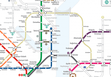
Metro
- Bostancı • Lines: M4 (17 min walk)

 Metro
Metro
