Kozyatağı, Istanbul
Map
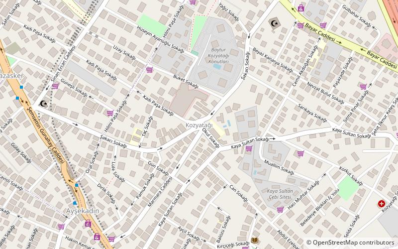
Map

Facts and practical information
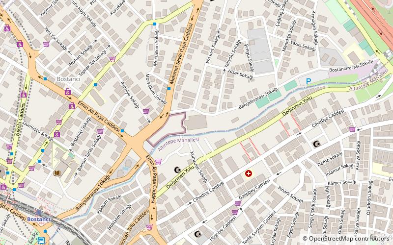
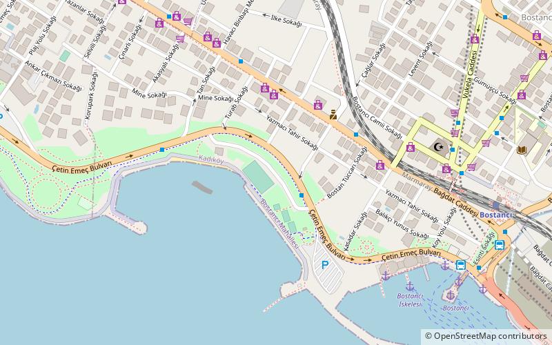
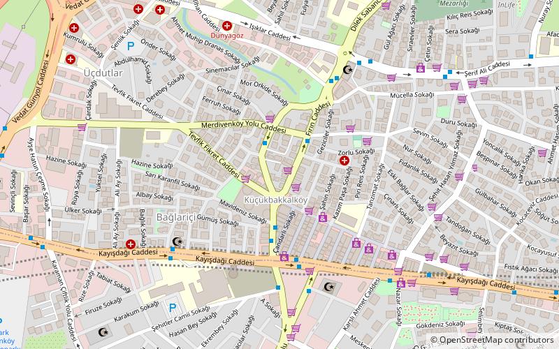
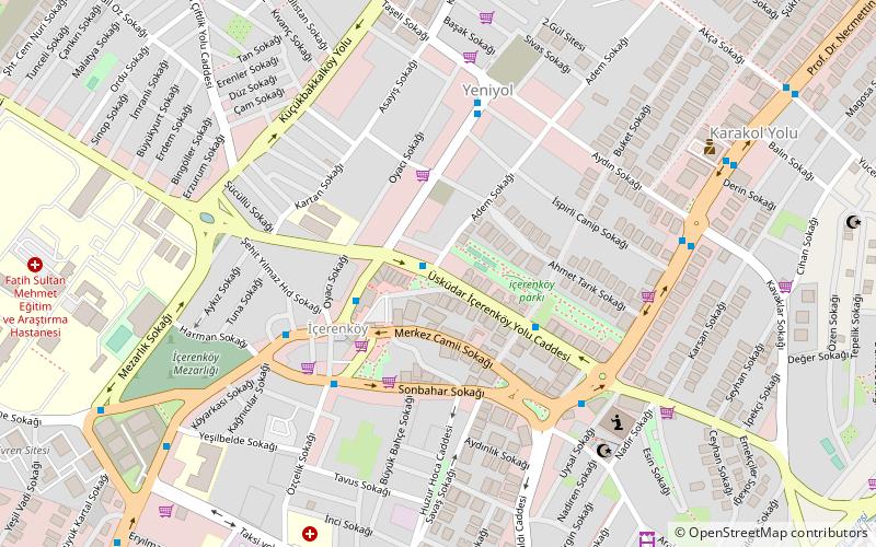
Kozyatağı is a neighbourhood of Kadıköy one of the districts of Istanbul. It is to the East of Göztepe west of Bostancı south of Ataşehir and north of the coastal neighbourhoods. ()
Coordinates: 40°58'7"N, 29°5'33"E
Address
Kadiköy (Kozyatağı)Istanbul
ContactAdd
Social media
Add
Day trips
Kozyatağı – popular in the area (distance from the attraction)
Nearby attractions include: Bağdat Avenue, İstanbul Toy Museum, Bostancı Gösteri Merkezi, Bostancı.
Frequently Asked Questions (FAQ)
How to get to Kozyatağı by public transport?
The nearest stations to Kozyatağı:
Bus
Metro
Train
Ferry
Bus
- Ayşekadın • Lines: 2 (9 min walk)
- Şemsettin Günaltay Caddesi • Lines: 2 (10 min walk)
Metro
- Kozyatağı • Lines: M4 (16 min walk)
- Bostancı • Lines: M4 (19 min walk)
Train
- Suadiye (18 min walk)
- Erenköy (23 min walk)
Ferry
- Bostancı İskelesi (30 min walk)
- Bostancı (30 min walk)

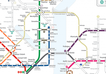 Metro
Metro

