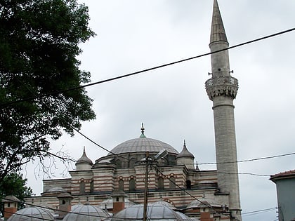
Gaziosmanpaşa Stadium, Istanbul
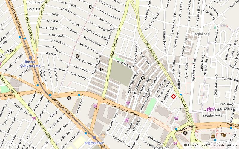
Map
Facts and practical information
Local name: Gaziosmanpaşa StadyumuOpened: 1984 (42 years ago)Capacity: 5762Coordinates: 41°3'39"N, 28°54'31"E
Day trips
Gaziosmanpaşa Stadium – popular in the area (distance from the attraction)
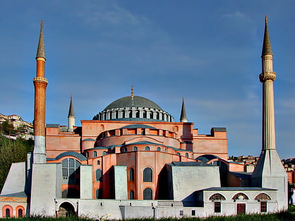
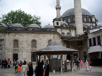
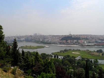
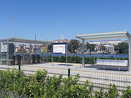
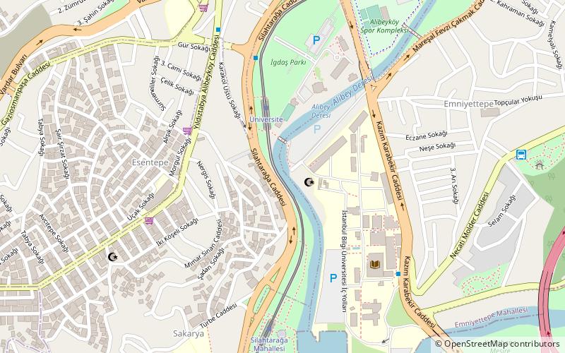
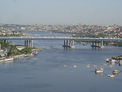
Nearby attractions include: Miniatürk, Eyüp Sultan Mosque, Pierre Loti Tepesi, Feshane.
Frequently Asked Questions (FAQ)
How to get to Gaziosmanpaşa Stadium by public transport?
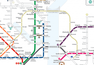
The nearest stations to Gaziosmanpaşa Stadium:
Tram
Light rail
Metro
Tram
- Sağmalcılar • Lines: T4 (7 min walk)
- Bosna-Çukurçeşme • Lines: T4 (9 min walk)
Light rail
- Uluyol-Bereç • Lines: T4 (13 min walk)
- Ali Fuat Başgil • Lines: T4 (22 min walk)
Metro
- Kocatepe • Lines: M1A, M1B (28 min walk)
 Metro
Metro