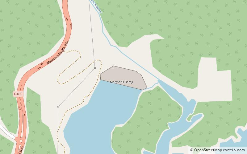
Marmaris Dam

Map
Facts and practical information
The Marmaris Dam is a concrete-face rock-fill dam on the Kocaalan Creek located 10 km north of Marmaris in Muğla Province, Turkey. Constructed between 1998 and 2005, the development was backed by the Turkish State Hydraulic Works as a build-operate-transfer project. The primary purpose of the dam is municipal water supply and it provides Marmaris with 22,390,000 m3 of water annually. ()
Local name: Marmaris BarajıOpened: 2005 (21 years ago)Length: 994 ftHeight: 243 ftReservoir area: 0.68 mi²Coordinates: 36°56'56"N, 28°17'23"E
Location
Mugla
ContactAdd
Social media
Add
Day trips
Marmaris Dam – popular in the area (distance from the attraction)
Nearby attractions include: Beldibi.
