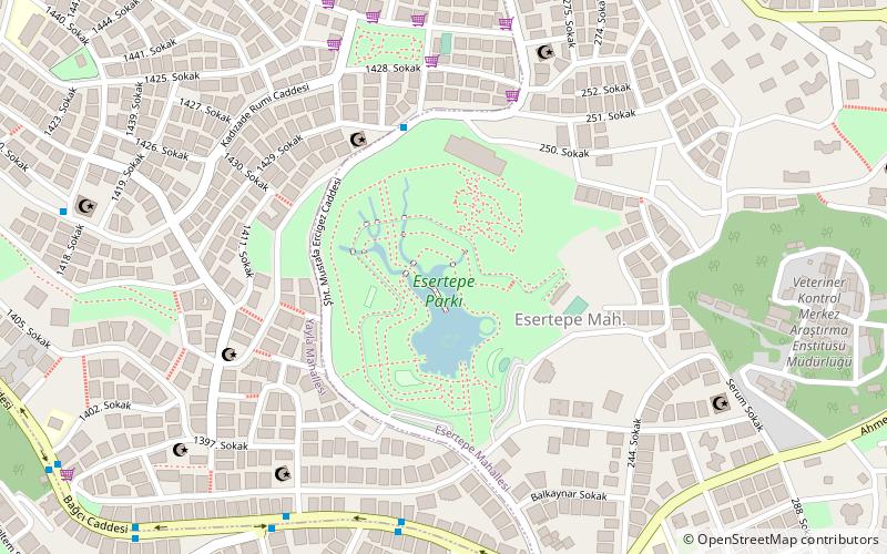
Etlik, Ankara
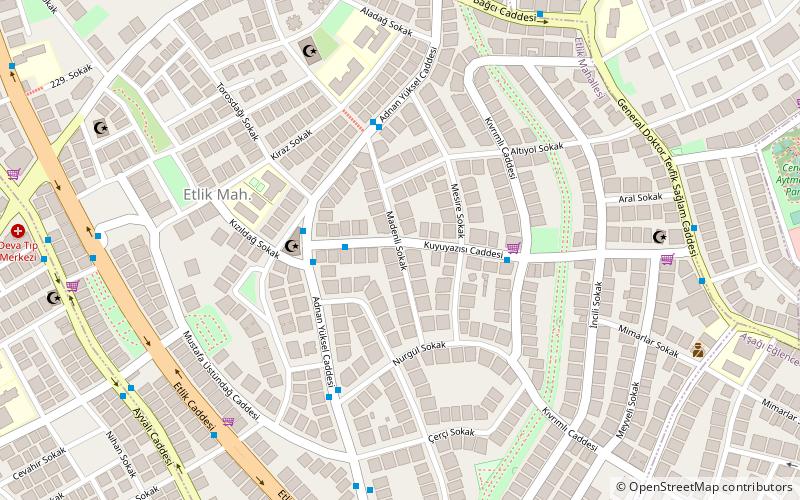
Map
Facts and practical information
Etlik is a neighbourhood in the Keçiören district of Ankara Province, Turkey. 'Kasalar' is one of the major units of Etlik. The neighbourhood is located between İncirli, Aşağı Eğlence and Gümüşdere neighbourhoods. It borders the district of Yenimahalle in the south. ()
Coordinates: 39°58'48"N, 32°49'49"E
Address
KeçiörenAnkara
ContactAdd
Social media
Add
Day trips
Etlik – popular in the area (distance from the attraction)
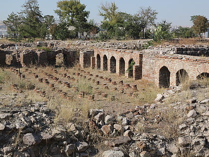
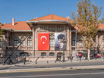
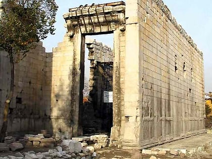
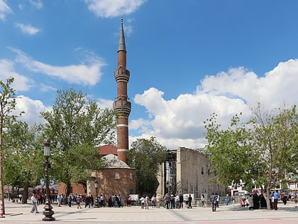
Nearby attractions include: Roman Baths of Ankara, ANKAmall, War of Independence Museum, Temple of Augustus and Rome.
Frequently Asked Questions (FAQ)
How to get to Etlik by public transport?
The nearest stations to Etlik:
Bus
Aerialway
Bus
- Seher Sokak • Lines: 208 (10 min walk)
- Süleymaniye Külliyesi • Lines: 208 (11 min walk)
Aerialway
- Yunus Emre Meydan • Lines: Teleferik (35 min walk)
