Şirinyer Tunnel, Izmir

Map
Facts and practical information
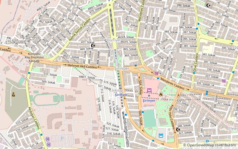
The Şirinyer Tunnel is a 2,000 m long tunnel that carries the Southern Line under Mehmet Akif street and Şirinyer station plaza. The tunnel also houses the Şirinyer railway station which are serviced by İZBAN commuter trains to Alsancak and Tepeköy railway station. Groundbreaking for the tunnel was done on 24 July 2006 and was opened to railway traffic on 19 May 2010. ()
Coordinates: 38°23'34"N, 27°8'49"E
Address
Izmir
ContactAdd
Social media
Add
Day trips
Şirinyer Tunnel – popular in the area (distance from the attraction)
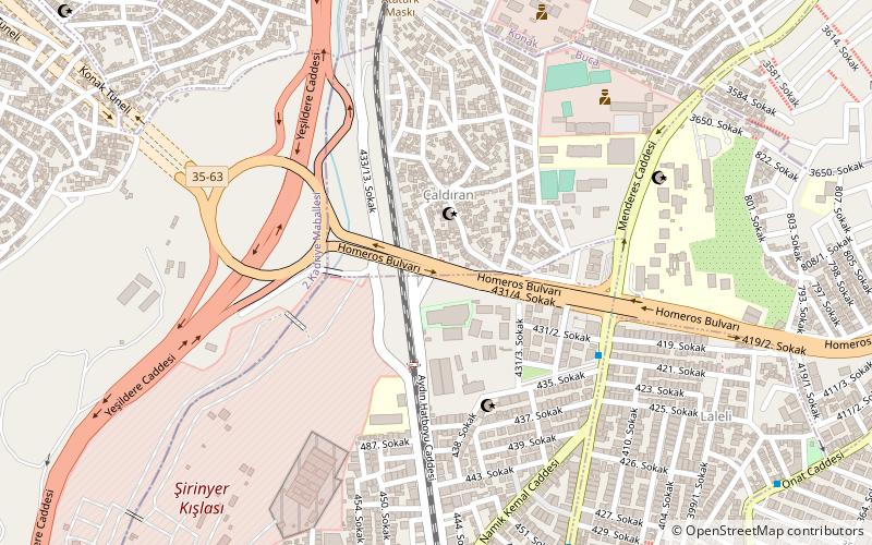
Nearby attractions include: Atatürk Mask, Selahattin Akçiçek Kültür Merkezi, Homeros Boulevard, Şirinyer Racecourse.
Frequently Asked Questions (FAQ)
Which popular attractions are close to Şirinyer Tunnel?
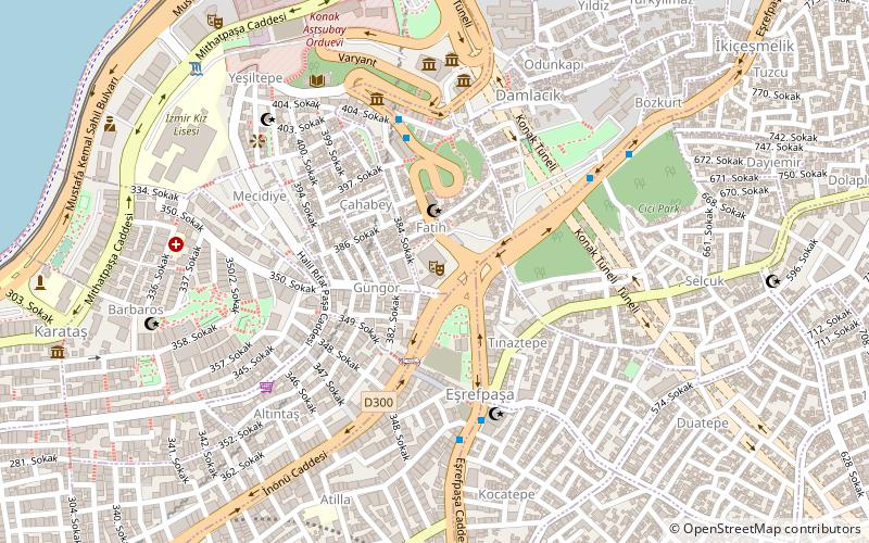
Nearby attractions include Eşrefpaşa, Izmir (14 min walk), Homeros Boulevard, Izmir (16 min walk), Atatürk Mask, Izmir (24 min walk).
How to get to Şirinyer Tunnel by public transport?
The nearest stations to Şirinyer Tunnel:
Train
Bus
Train
- Şirinyer (2 min walk)
- Koşu (17 min walk)
Bus
- Şirinyer Karakol • Lines: 515 (2 min walk)
- Şirinyer Aktarma • Lines: 838 (5 min walk)


