Emirgan, Istanbul
Map
Gallery
Facts and practical information
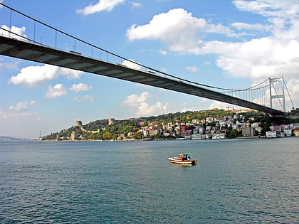
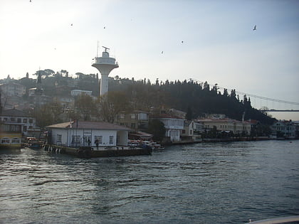
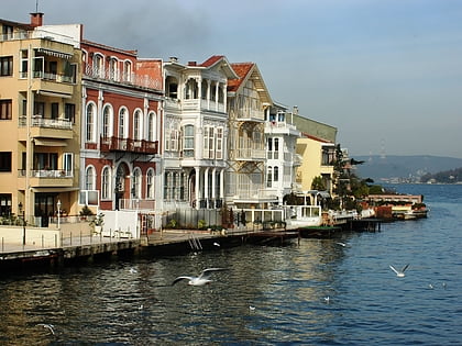
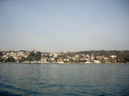
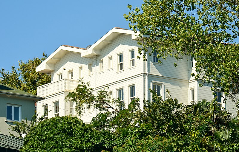
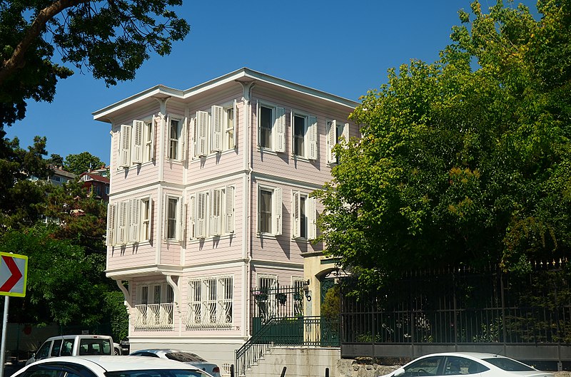
Emirgan is a neighborhood of the Sarıyer district on the European side of Istanbul, Turkey. It is a historic place on the western coast of Bosphorus strait, north of the Fatih Sultan Mehmet Bridge. ()
Coordinates: 41°6'11"N, 29°3'13"E
Address
Sarıyer (Emirgan)Istanbul
ContactAdd
Social media
Add
Day trips
Emirgan – popular in the area (distance from the attraction)
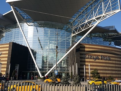
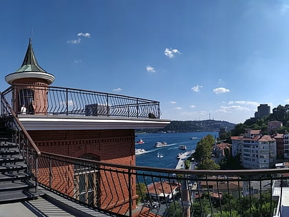
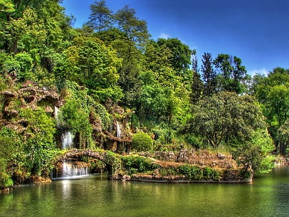
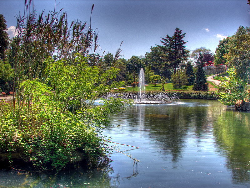
Nearby attractions include: İstinye Park, Borusan Contemporary, Emirgan Park, Fatih Sultan Mehmet Bridge.
Frequently Asked Questions (FAQ)
Which popular attractions are close to Emirgan?
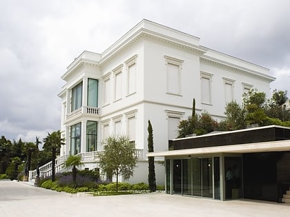
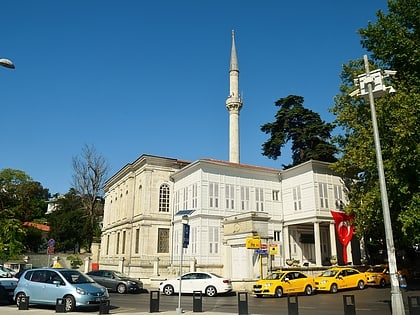
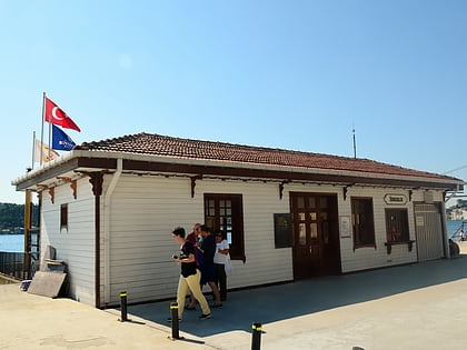
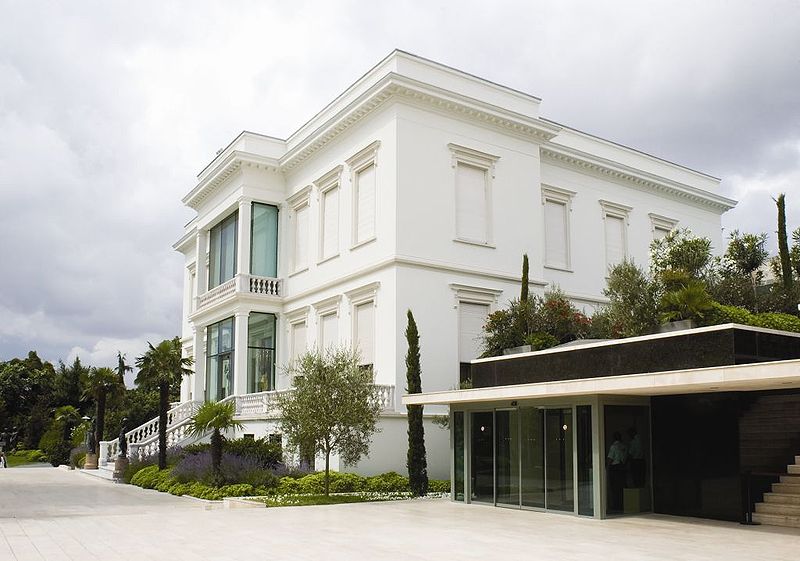
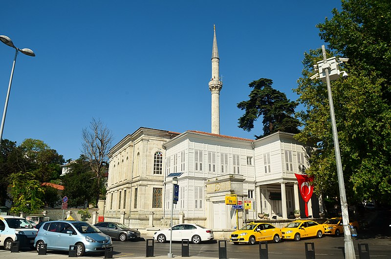
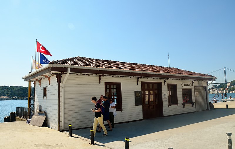
Nearby attractions include Emirgan Pier, Istanbul (4 min walk), Emirgan Mosque, Istanbul (4 min walk), Sakıp Sabancı Museum, Istanbul (8 min walk), İstinye, Istanbul (8 min walk).
How to get to Emirgan by public transport?
The nearest stations to Emirgan:
Ferry
Bus
Ferry
- İstinye (19 min walk)
Bus
- F.s.m (24 min walk)
- Rumelihisarüstü • Lines: 43R, 559C (27 min walk)


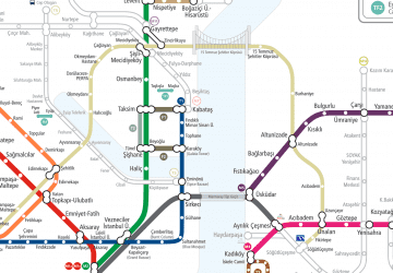 Metro
Metro