Mustafa Kemal Coastal Boulevard, Izmir
Map
Map

Facts and practical information
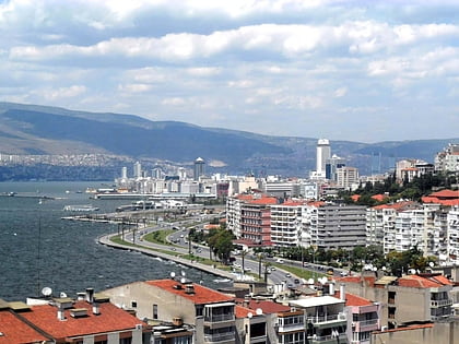
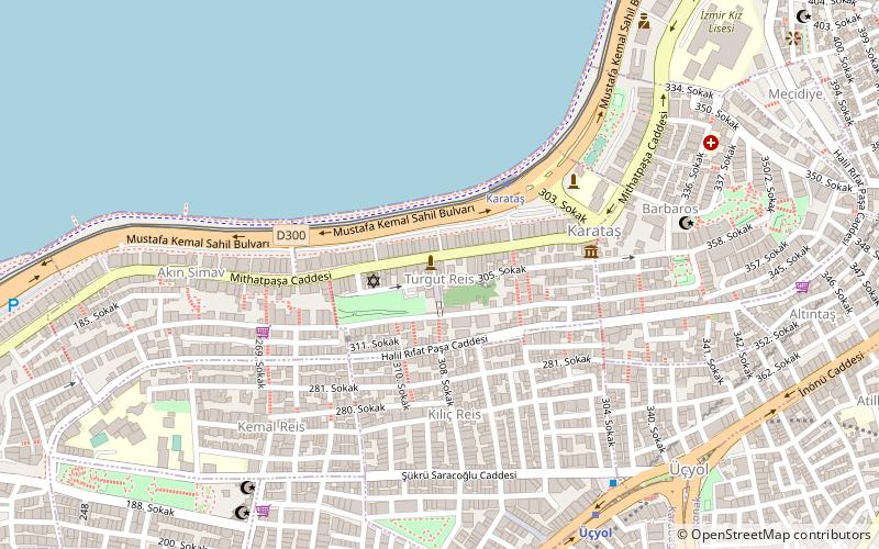
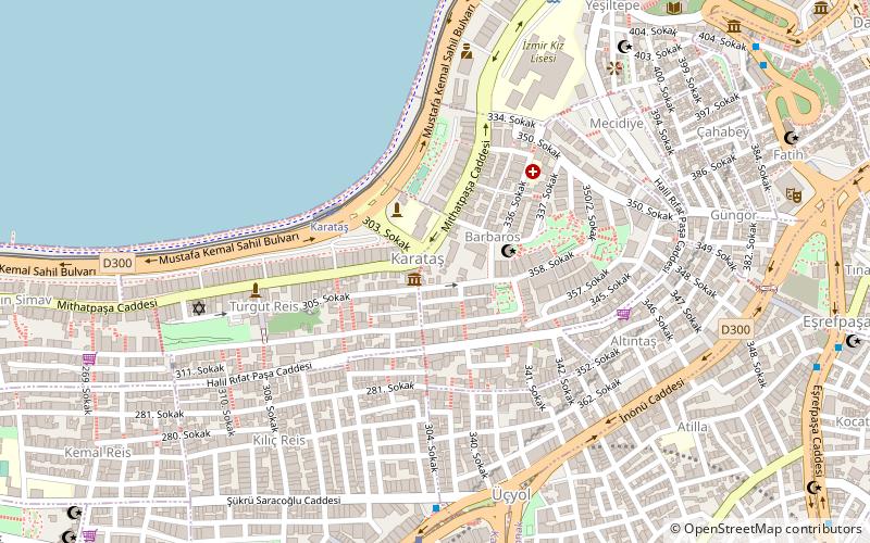
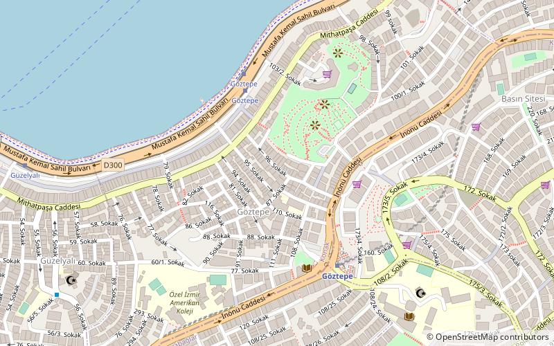
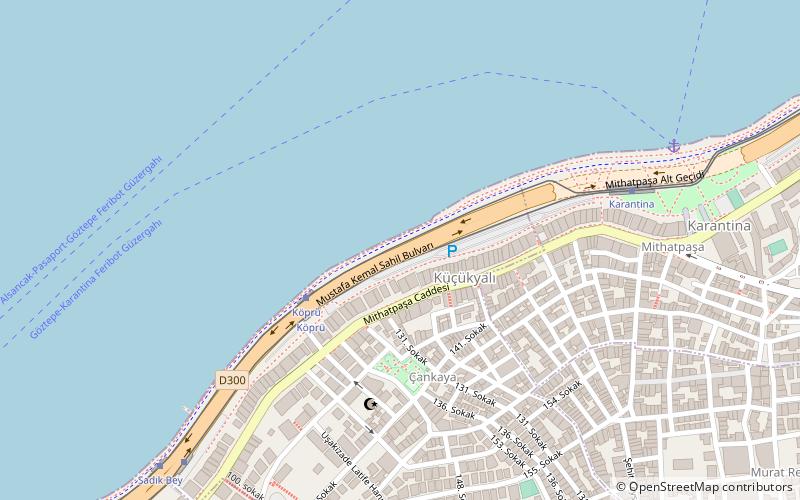
The Mustafa Kemal Coastal Boulevard is a major thoroughfare in İzmir, Turkey. Consisting of six lanes, it stretches from Cumhuriyet Boulevard in Çankaya to the İzmir-Çeşme motorway in Üçkuyular, running along the southeastern coast of the Gulf of İzmir. ()
Coordinates: 38°24'25"N, 27°6'2"E
Address
Izmir
ContactAdd
Social media
Add
Day trips
Mustafa Kemal Coastal Boulevard – popular in the area (distance from the attraction)
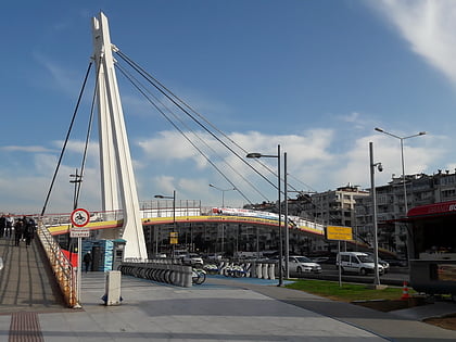
Nearby attractions include: Güzelyalı Bridge, Avrasya Anı Evi, Bet Israel Synagogue, Karataş.
Frequently Asked Questions (FAQ)
Which popular attractions are close to Mustafa Kemal Coastal Boulevard?
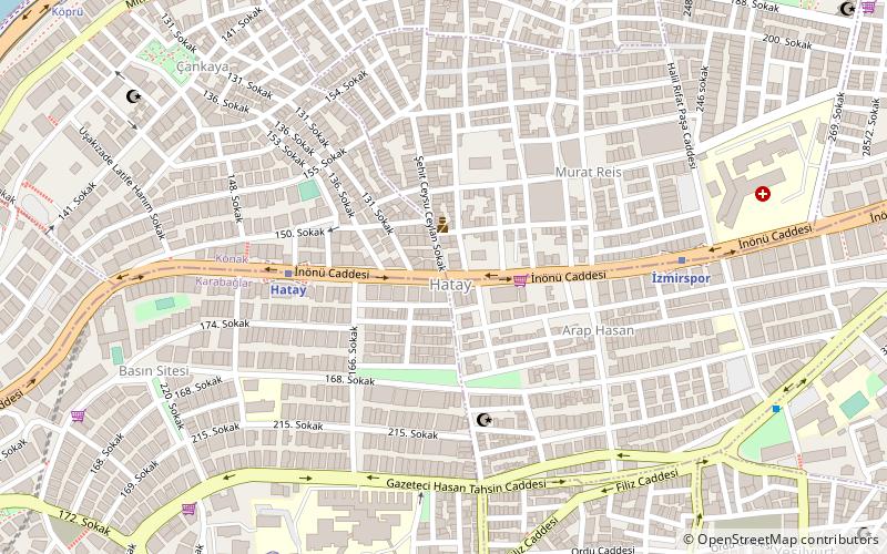
Nearby attractions include Hatay, Izmir (12 min walk), Göztepe, Izmir (19 min walk), Bet Israel Synagogue, Izmir (23 min walk).
How to get to Mustafa Kemal Coastal Boulevard by public transport?
The nearest stations to Mustafa Kemal Coastal Boulevard:
Tram
Metro
Ferry
Bus
Tram
- Köprü • Lines: T2 (4 min walk)
- Karantina • Lines: T2 (8 min walk)
Metro
- Hatay • Lines: M1 (10 min walk)
- İzmirspor • Lines: M1 (17 min walk)
Ferry
- Göztepe Vapur İskelesi (27 min walk)
Bus
- Üçyol • Lines: 255 (29 min walk)
