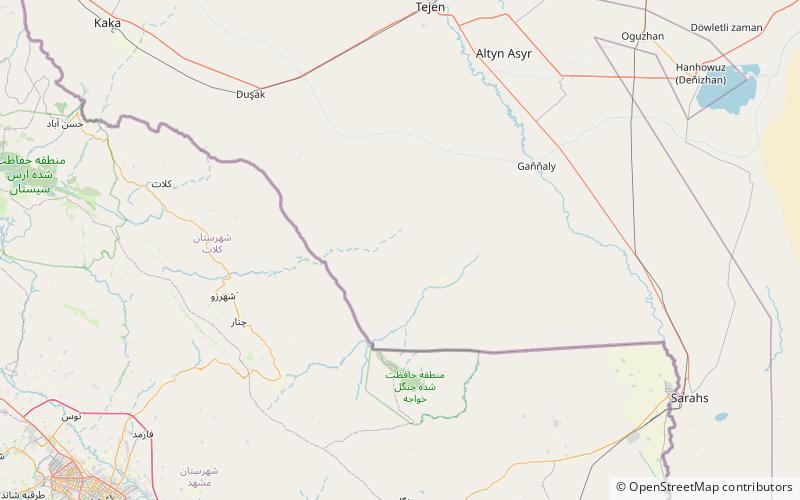
Monjukli Depe, Altin Depe
Map

Map

Facts and practical information
Monjukli Depe is an ancient settlement in south Turkmenistan, at the northern edge of the Kopet Dag mountains. Excavations reveal occupation from the late Neolithic period, starting about 6200 BC, to the early Chalcolithic period. The earliest layers belong to the Jeitun culture of Turkmenistan. ()
Coordinates: 36°50'55"N, 60°25'5"E
Address
Altin Depe
ContactAdd
Social media
Add
