Kyiv Mountains, Kyiv
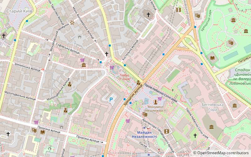
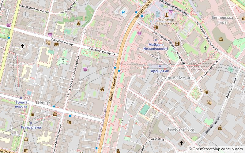
Map
Gallery
Facts and practical information
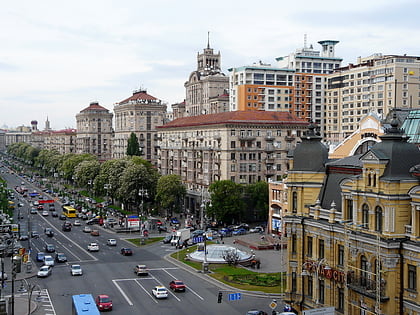
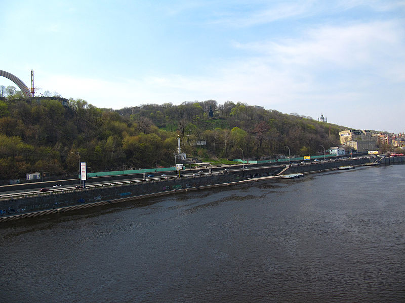
Kyiv Mountains or Kyiv Hills is a term used in journalism and literature for hills and highlands around the city of Kyiv that range from approximately 150 to almost 200 meters. The city of Kyiv is located within borders of three orographic regions: Dnieper Upland and Polesian and Dnieper lowlands. The hills are located in northern part of the Kyiv plateau where the Dnieper Upland slopes down towards the Dnieper river valley and the Kyiv Polesia. The highest marks recorded in central and southwestern parts of the city. ()
Address
Печерськ (Липки)Kyiv
ContactAdd
Social media
Add
Day trips
Kyiv Mountains – popular in the area (distance from the attraction)
Nearby attractions include: Khreshchatyk, Besarabsky Market, Independence Monument, Maidan Nezalezhnosti.
Frequently Asked Questions (FAQ)
Which popular attractions are close to Kyiv Mountains?
Nearby attractions include Kyiv Conservatory (5 min walk), Prorizna Street, Kyiv (6 min walk), Teatro Nacional Lesya Ukrainka, Kyiv (6 min walk), Solomianka District, Kyiv (6 min walk).
How to get to Kyiv Mountains by public transport?
The nearest stations to Kyiv Mountains:
Metro
Trolleybus
Bus
Train
Tram
Metro
- Khreschatyk • Lines: M1 (4 min walk)
- Maidan Nezalezhnosti • Lines: M2 (4 min walk)
Trolleybus
- пл. Бессарабська • Lines: 17, 5, 7, 8, 93Н (10 min walk)
- вул. Володимирська • Lines: 17, 5, 7, 8, 93Н (12 min walk)
Bus
- ст. м. Палац Спорту • Lines: А69 (16 min walk)
- вул. Жилянська • Lines: 825 (25 min walk)
Train
- Верхня станція (18 min walk)
- Нижня станція (21 min walk)
Tram
- Smyrnova-Lastochkina • Lines: 14, 18 (34 min walk)
- Petrivska • Lines: 14, 18 (38 min walk)

 Metro
Metro