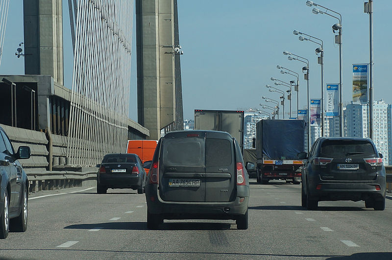
Pivdennyi Bridge, Kyiv
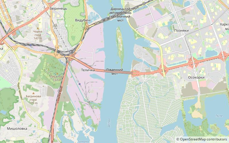
Map
Gallery
Facts and practical information
Local name: Південний міст Opened: 1990 (36 years ago)Length: 4121 ftWidth: 135 ftHeight: 443 ftCoordinates: 50°23'42"N, 30°35'13"E
Address
Південний містГолосіївських (Верхня Теличка)Kyiv
ContactAdd
Social media
Add
Day trips
Pivdennyi Bridge – popular in the area (distance from the attraction)
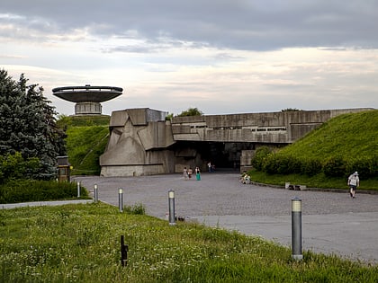
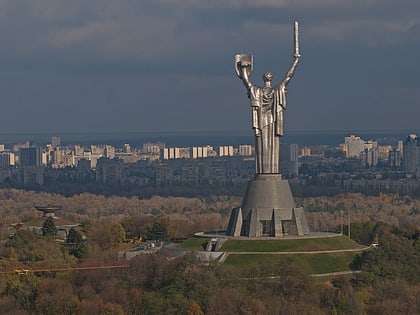
Nearby attractions include: National Museum of the History of Ukraine in the Second World War, Hryshko National Botanical Garden, Motherland Monument, Vydubychi Monastery.
Frequently Asked Questions (FAQ)
How to get to Pivdennyi Bridge by public transport?
The nearest stations to Pivdennyi Bridge:
Metro
Train
Bus
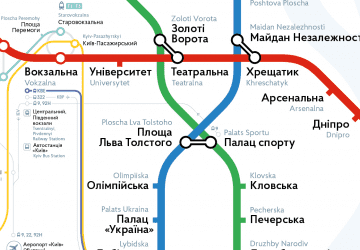
Metro
- Slavutych • Lines: M3 (21 min walk)
- Vydubychi • Lines: M3 (32 min walk)
Train
- Заводська (25 min walk)
Bus
- Міський центр надання адміністративних послуг • Lines: 87 (34 min walk)

 Metro
Metro