Mariinskyi Park, Kyiv
Map
Gallery
Facts and practical information
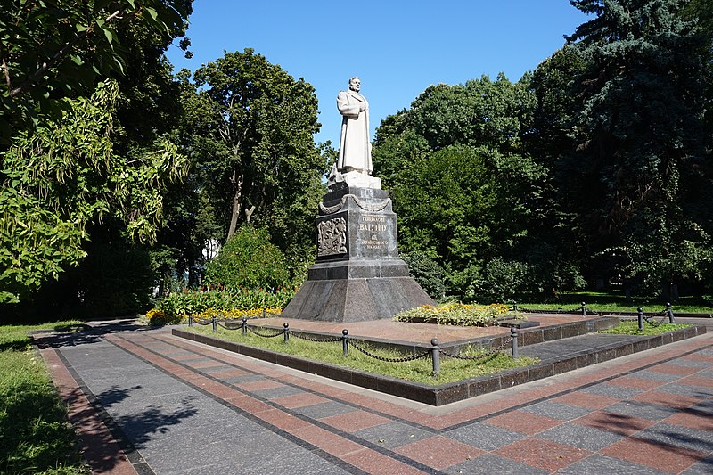
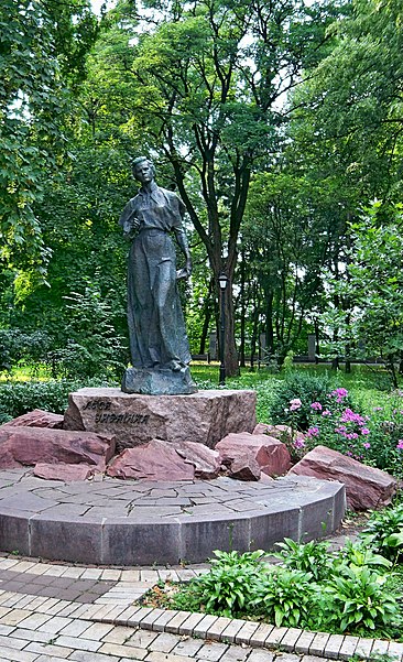
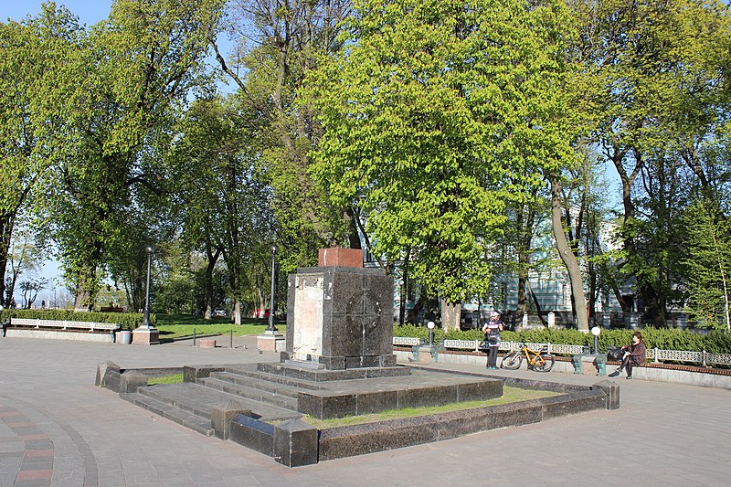
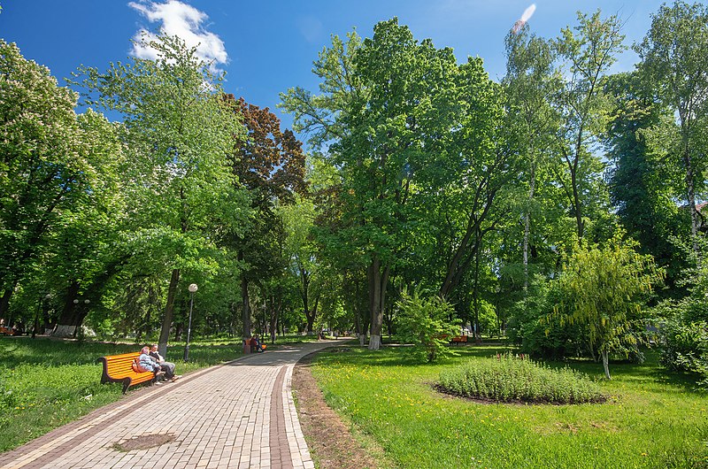
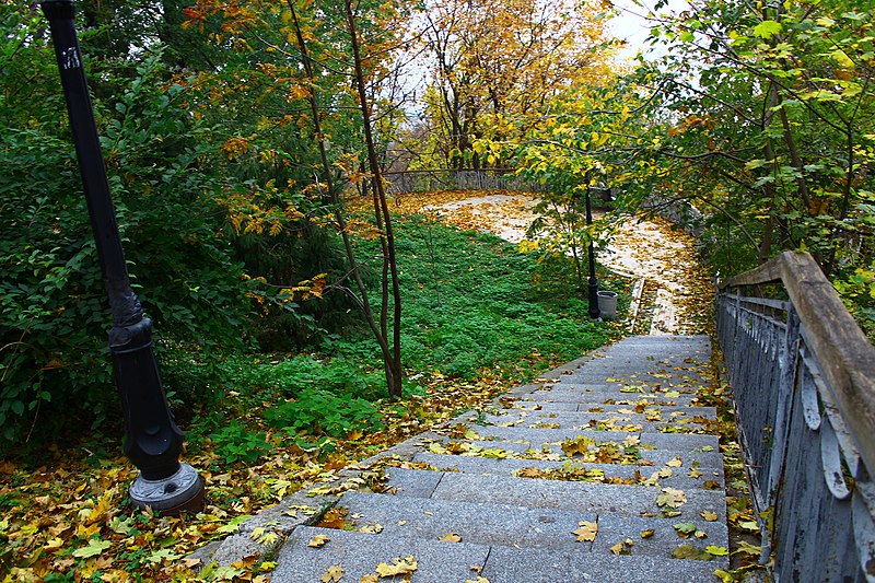
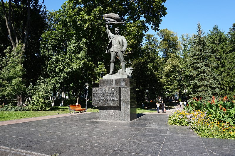
Mariinskyi Park is a park located in Pechersk neighborhood in front of the Supreme Council of Ukraine, Hrushevsky Street, and Park Road. The park is also a Soviet necropolis. The park is recognized as part of the Nature Preservation Fund of Ukraine, yet its official listing is not known. ()
Local name: Маріїнський парк Created: 1847Area: 34.84 acres (0.0544 mi²)Elevation: 666 ft a.s.l.Coordinates: 50°26'48"N, 30°32'27"E
Address
вул. ГрушевськогоПечерськ (Клов)Kyiv
ContactAdd
Social media
Add
Day trips
Mariinskyi Park – popular in the area (distance from the attraction)
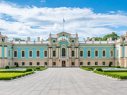
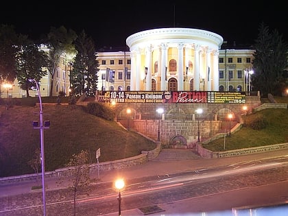
Nearby attractions include: Mariinskyi Palace, National Art Museum of Ukraine, Water Museum, Khreshchatyi Park.
Frequently Asked Questions (FAQ)
Which popular attractions are close to Mariinskyi Park?
Nearby attractions include Central House of Officers of the Armed Forces of Ukraine, Kyiv (4 min walk), Mariinskyi Palace, Kyiv (5 min walk), Khreshchatyi Park, Kyiv (5 min walk), Factory Arsenal, Kyiv (8 min walk).
How to get to Mariinskyi Park by public transport?
The nearest stations to Mariinskyi Park:
Metro
Trolleybus
Bus
Train
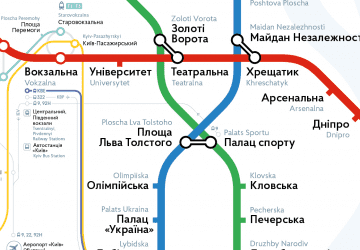
Metro
- Arsenalna • Lines: M1 (8 min walk)
- Khreschatyk • Lines: M1 (18 min walk)
Trolleybus
- пл. Бессарабська • Lines: 17, 5, 7, 8, 93Н (25 min walk)
- вул. Шота Руставелі • Lines: 3, 9, Тр40 (28 min walk)
Bus
- ст. м. Палац Спорту • Lines: А69 (27 min walk)
Train
- Верхня станція (27 min walk)
- Нижня станція (28 min walk)



 Metro
Metro