City Park, Kyiv
Map
Map

Facts and practical information
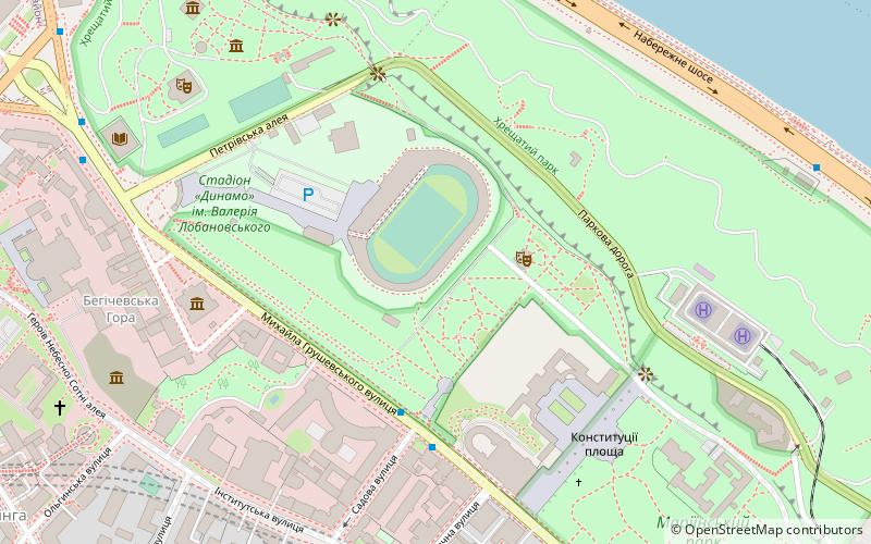
City Park is a park in Kyiv located between Khreshchatyi Park and Mariinskyi Park. Along with Volodymyr Hill, Khreshchatyi Park, Mariinskyi Park, Askold's Grave, and Park of the Eternal Glory, it creates one big elongated park zone along the right bank of Dnieper. The park has an area of 11.7 ha. The main feature of the park is a sports venue, Lobanovsky Dynamo Stadium. ()
Local name: Міський сад Area: 25.95 acres (0.0405 mi²)Elevation: 620 ft a.s.l.Coordinates: 50°26'59"N, 30°32'8"E
Address
Печерськ (Липки)Kyiv
ContactAdd
Social media
Add
Day trips
City Park – popular in the area (distance from the attraction)
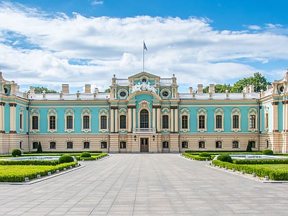
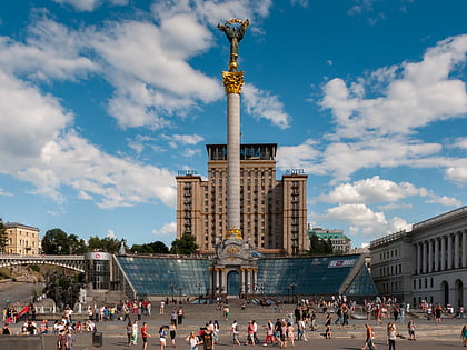
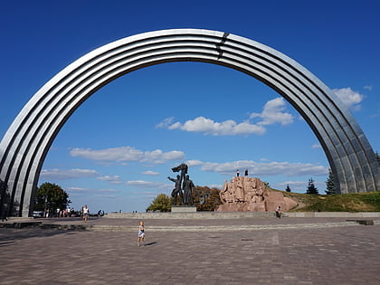
Nearby attractions include: Mariinskyi Palace, Independence Monument, Arch of Diversity, National Art Museum of Ukraine.
Frequently Asked Questions (FAQ)
Which popular attractions are close to City Park?
Nearby attractions include Mariinskyi Palace, Kyiv (4 min walk), Government Building, Kyiv (5 min walk), Simferopol Art Museum, Kyiv (5 min walk), National Art Museum of Ukraine, Kyiv (6 min walk).
How to get to City Park by public transport?
The nearest stations to City Park:
Metro
Train
Trolleybus
Bus
Tram
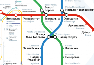
Metro
- Maidan Nezalezhnosti • Lines: M2 (13 min walk)
- Khreschatyk • Lines: M1 (13 min walk)
Train
- Верхня станція (19 min walk)
- Нижня станція (21 min walk)
Trolleybus
- Софійська площа • Lines: 16, 18 (22 min walk)
- пл. Бессарабська • Lines: 17, 5, 7, 8, 93Н (23 min walk)
Bus
- ст. м. Палац Спорту • Lines: А69 (27 min walk)
- вул. Борисоглібська • Lines: А114 (29 min walk)
Tram
- Kontraktova Square • Lines: 11, 12, 14, 18, 19 (35 min walk)
- Zhytniy Rynok • Lines: 14, 18 (39 min walk)

 Metro
Metro