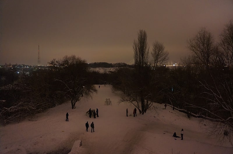
Zamkova Hora, Kyiv
Gallery (1)
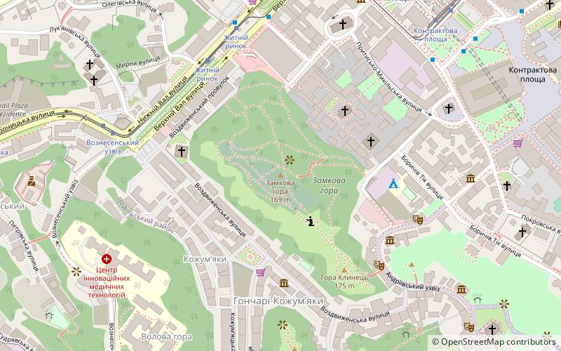
Map
Map
Facts and practical information
Zamkova Hora hill in Kyiv, Ukraine is a historical landmark in the center of the city. It is part of the city's geographic relief complex known as Kyiv Mountains. The place is called "Zamkova" because Vytautas the Great had his castle here. Other names: Khorevytsya, Kyselivka, Frolovska, Lysa Hora. Some important events of Ukrainian history took place on the hill. ()
Address
Поділ (Замкова Хота)Kyiv
ContactAdd
Social media
Add
Getting there by public transportation
Public transportation stops near this location
- Metro
- Bus
- Trolleybus
- Tram
- Train
 Metro
Metro
- Calculate routeZhytniy Rynok 5 min walk
- Calculate routeSmyrnova-Lastochkina 7 min walk
- Calculate routeKontraktova Square 8 min walk
- Calculate routeNyzhniy Val 9 min walk
- Calculate routeЖитнiй ринок 6 min walk
- Calculate routeВознесенський узвіз 7 min walk
- Calculate routeАвтостанція Поділ 7 min walk
- Calculate routeKontraktova Square 8 min walk
- Calculate routePoshtova Ploshcha 16 min walk
- Calculate routeTarasa Shevchenka 23 min walk
- Calculate routeMaidan Nezalezhnosti 29 min walk
- Calculate routeНижня станція 16 min walk
- Calculate routeВерхня станція 16 min walk
- Calculate routeСофійська площа 16 min walk
- Calculate routeЗлатоустівська вул. 31 min walk
- Calculate routeБудинок національних художніх колективів 32 min walk
- Calculate routeАкадемія адвокатури України 33 min walk
Maps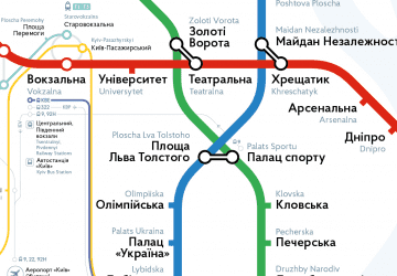 Metro
Metro
MetroDay trips
Zamkova Hora – popular in the area (distance from the attraction)
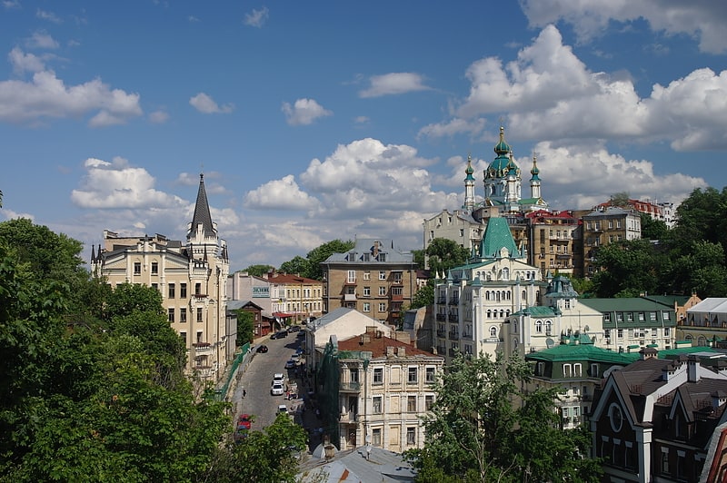
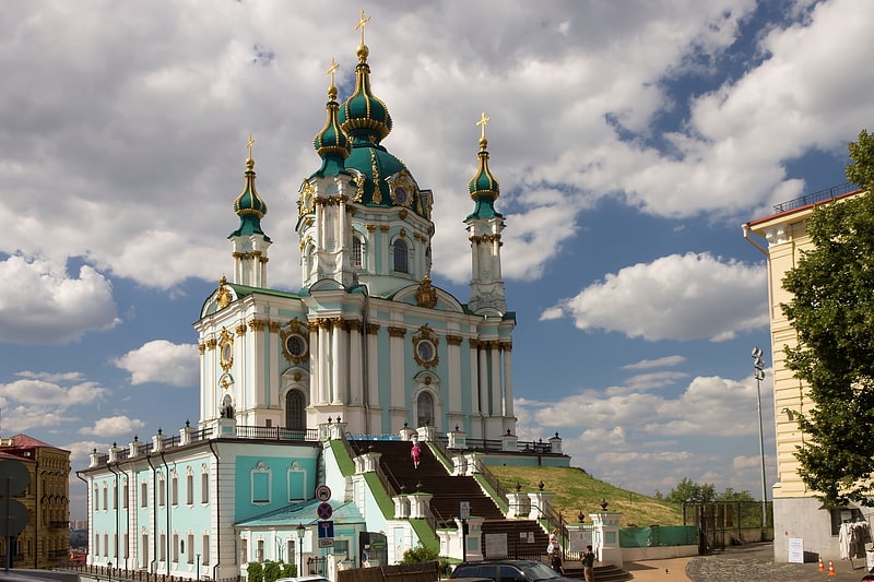
Nearby attractions include: Saint Sophia's Cathedral, Andriyivskyy Descent, St Andrew's Church, Bohdan Khmelnytsky Monument.


Frequently Asked Questions (FAQ)
Which popular attractions are close to Zamkova Hora?
Nearby attractions include Hrestovozdvizenska cerkva, Kyiv (4 min walk), Mikhail Bulgakov Museum, Kyiv (5 min walk), Andriyivskyy Descent, Kyiv (6 min walk), Pyrohoshcha Church, Kyiv (7 min walk).
How to get to Zamkova Hora by public transport?
The nearest stations to Zamkova Hora:
Tram
Bus
Metro
Train
Trolleybus
Tram
- Zhytniy Rynok • Lines: 14, 18 (5 min walk)
- Smyrnova-Lastochkina • Lines: 14, 18 (7 min walk)
Bus
- Житнiй ринок • Lines: 119 (6 min walk)
- Вознесенський узвіз • Lines: 119 (7 min walk)
Metro
- Kontraktova Square • Lines: M2 (8 min walk)
- Poshtova Ploshcha • Lines: M2 (16 min walk)
Train
- Нижня станція (16 min walk)
- Верхня станція (16 min walk)
Trolleybus
- Софійська площа • Lines: 16, 18 (16 min walk)
- Златоустівська вул. • Lines: 19, Тр30 (31 min walk)