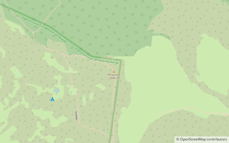
Petrosul, Carpathian Biosphere Reserve

Gallery (1)
Map
Map
Facts and practical information
Petrosul - one of the peaks of the Ukrainian Carpathians, in the north-eastern part of the Chornogora massif, within Rakhiv district of the Zakarpattya region. It is located near the Petros peak.
The height is 1855 m. It has an asymmetric shape: the pivdenno-zadnoe shill is slightly humpy, gentle, the pivnoe-schiadnoe shill is Urvist, it is cut by a ledge of over 50 m. It is composed of scree slopes. Prevail petrophytes. The eastern-eastern-most shores are covered with sphagnum-rodendron and mixed herb-herb-herb-herbs clumps.
Through Petrosul there is a route to Petros from the village of Yasinya.
Address
Carpathian Biosphere Reserve
ContactAdd
Social media
Add
Day trips


