Ungaraska

Gallery (1)
Map
Map
Facts and practical information
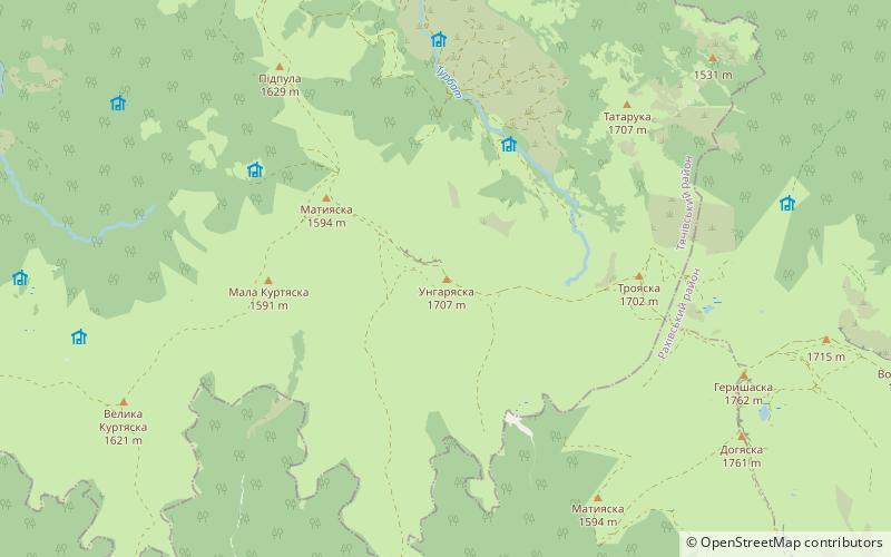
Unhariaska, Ungariaska - a peak 1707 m a.s.l. Located in the western part of the Świdowiec massif in the Tiaczów region of the Zakarpackie District. The top of the mountain is covered with a pole, which pulls to the border of the forest at about 1,400 m a.s.l. where the mixed coniferous forest begins. The north-east and northwestern slopes of the mountain are steeping, while western and southern fall gently. There is a tourist trail through Unhariaska with the "ridge of Świdowiec" running from Jasina to Ust-Oczrona. The towns located nearby are Czorn Tyza, Ust-Równa and Krasna.
Location
Transcarpathia
ContactAdd
Social media
Add
Day trips


