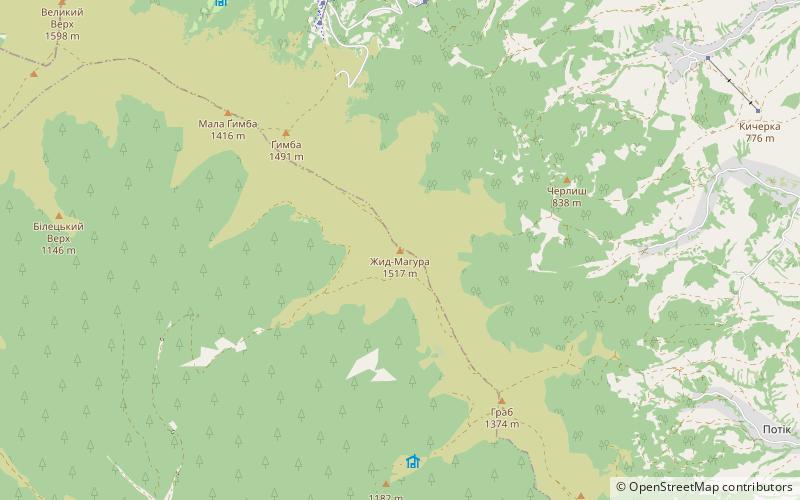
Zid-Magura
Map

Map

Facts and practical information
Zhid Magura is a peak in the Ukrainian Carpathians, in the Polonina Borzhava massif. It is located between Svalyavsk and Mizhgirsk districts of the Transcarpathian region, west of the village Bukovets.
The height is 1517 m. At the top of the mountain - rozlogi poloniny with dwarf forests, below - mostly beech forests.
Location
Transcarpathia
ContactAdd
Social media
Add
Day trips
Zid-Magura – popular in the area (distance from the attraction)
Nearby attractions include: Shypit, Stoy, Velikij Verh, Gimba.


